Situation Summary
Albania is experiencing concurrent civil-unrest and environmental emergencies as of late July 2026. Anti-government demonstrations—linked to the "Flamingo Revolution"—have escalated in central Tirana around Parliament and police facilities, with protesters breaching cordons, throwing objects, and prompting police use of irritant spray and water dispersion. Simultaneously, fast-moving wildfires in rural Fier and Kavajë counties have forced evacuations and road closures, compounding the security picture. Overall threat elevation remains moderate (composite score 16), but localized risk in Berat County (31.3) and central Tirana (8.8) is concentrated and requires active duty-of-care monitoring.
Key Developments
- Tirana, Parliament area – 27 July 2026: Demonstrators attempted to breach police cordons outside Albania's Parliament; officers deployed irritant spray and maintained heightened security perimeter as proceedings continued inside. Protesters moved through nearby streets attempting to approach the building.
- Tirana, Police Station No. 3 – 27 July 2026: A protest outside the station escalated to violence, resulting in at least one officer injury and property damage. Police used water-dispersal measures to disperse the crowd; Interior Minister publicly condemned the incident.
- Fier, Drizë village – 27 July 2026: A major wildfire forced evacuation of 11 families and closure of the Qafa e Kosovicës–Cakran road due to flame-spread risk. Emergency services worked to contain the blaze.
- Fier & Kavajë provinces – 27 July 2026: Multiple wildfires spread rapidly under strong winds across rural zones, threatening local infrastructure and prompting travel disruption warnings in affected areas.
- Tirana, central protest corridors – 24–27 July 2026 (escalation on 27th): Following earlier violent clashes on 24 July—when protesters used pyrotechnic devices and injured police—authorities maintained heavy security cordons on 27 July amid renewed protest pressure, raising civil-unrest and travel-risk concerns in central Tirana.
- Nationwide – political/security sphere – 27 July 2026: President Bajram Begaj publicly addressed the ongoing Tirana protests; a senior police officer was suspended over alleged verbal threats at headquarters, reflecting heightened political tension and internal scrutiny of security forces.
Highest-Risk Areas
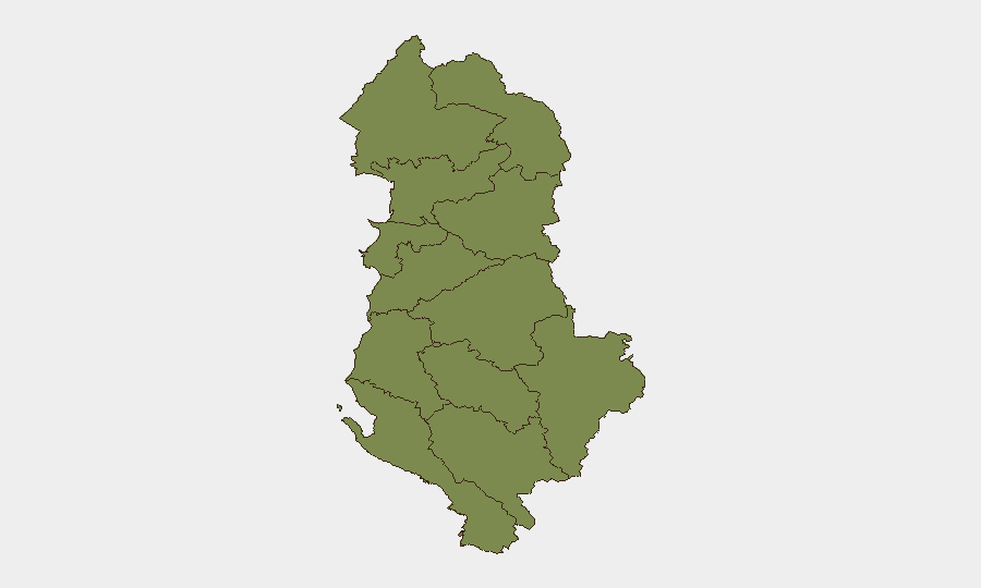
Berat County dominates the sub-national risk ranking (31.3), driven by recent event concentration and severity; however, Tirana County (8.8)—encompassing the capital and Parliament—is the immediate operational concern for corporate and diplomatic personnel, given active civil unrest, police operations, and ongoing protest activity in central zones. Dibër, Vlorë, and rural Fier/Kavajë show secondary risks, with Fier currently elevated by wildfire emergency response. All other counties remain at baseline (1.3), indicating risk is geographically concentrated rather than nationwide.
How GeoBit Would Assist
Security teams should deploy AOI Monitoring & Early Warning on central Tirana (Parliament, Police Station No. 3, protest corridors) to track crowd movement and police posture in real-time; Routing & Network Analysis to identify alternative travel corridors avoiding Parliament and fire-affected rural roads in Fier/Kavajë; and Sentiment & Temporal Analysis (via Telegram, X, and local media feeds) to anticipate protest timing and intensity, enabling proactive duty-of-care decisions for personnel transit and work-site access in the capital.
7-Day Outlook
Protest activity is likely to persist in central Tirana through early August, with police maintaining elevated cordons and dispersal readiness. Wildfire containment in Fier/Kavajë will depend on wind patterns and rainfall; road disruptions should be assumed for 5–7 days minimum. Corporate teams should expect intermittent transport delays and heightened police presence in Tirana's central zone; personnel safety remains manageable with situational awareness and route flexibility.
Highest-Risk Areas — Ranked
| # | State / Region | Risk |
|---|---|---|
| 1 | Berat County | 31.3 |
| 2 | Tirana County | 8.8 |
| 3 | Dibër County | 6.3 |
| 4 | Vlorë County | 6.3 |
| 5 | Durrës County | 1.3 |
| 6 | Shkodër County | 1.3 |
| 7 | Kukës County | 1.3 |
| 8 | Lezhë County | 1.3 |
| 9 | Elbasan County | 1.3 |
| 10 | Fier County | 1.3 |
| 11 | Korçë County | 1.3 |
| 12 | Gjirokastër County | 1.3 |
Sources
Previous Daily Briefs
A new Albania brief is written every day — each with its own risk map and downloadable CSV. Here's the last week; use the calendar to go further back.
📅 Browse every day by calendar →
Highlighted days have a brief. Tap a day for that day's map & analysis, or “csv” for that day's dataset ($5).
Atlas — our AI intelligence desk — emails them this snapshot personally. Nothing else, no list.