Situation Summary
Bahrain faces an acute and evolving security threat from Iranian missile and drone strikes that intensified on 22 July 2026. Multiple waves of aerial attacks targeted military infrastructure and civilian areas, with Bahraini air-defence systems intercepting incoming ordnance but resulting in collateral damage to homes and vehicles. The threat environment is now characterized by repeated alarm activations, debris hazards in populated zones, and heightened regional tension involving Kuwait, Jordan, Iran, and U.S. interests. Trajectory remains volatile and unpredictable in the near term.
Key Developments
- Manama (capital), 22 July – Bahrain Defence Force confirmed interception of multiple Iranian missiles and drones over civilian and military territory; military characterized the strikes as "brutal Iranian aggression" targeting both civilians and infrastructure.
- Sheikh Isa Air Base (Southern Governorate), 22 July – Iranian strikes targeted a large warehouse and maintenance/repair facility at the base, part of a coordinated regional campaign against GCC and Jordanian assets.
- Central Manama, 22 July – U.S. Embassy issued a security alert warning of potential Iranian targeting of unspecified locations in central Manama and recommending heightened vigilance for diplomatic and civilian personnel.
- Hamad Town and Manama, 22 July – Debris from intercepted drones caused civilian injury and property damage, including a child injured, vehicles set alight, and homes damaged across multiple residential areas.
- Nationwide, 22 July – Bahrain's Interior Ministry activated emergency sirens five times throughout the day and instructed residents to seek immediate shelter; no mass casualties reported but widespread population alert and disruption confirmed.
- Drone maintenance/repair facilities (location unspecified), 22 July – Earlier Iranian strikes damaged drone maintenance and repair sheds, triggering additional siren activations and interior ministry instructions to remain calm and follow official channels.
- General airspace, 22 July – International and regional sources confirmed Bahrain successfully intercepted an Iranian aerial attack wave; ongoing reports indicate sirens, debris hazards, and air-traffic disruptions remain possible country-wide.
Highest-Risk Areas
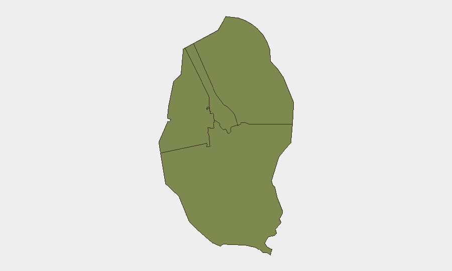
All four governorates show equal composite risk (1.3), reflecting that the Iranian drone and missile threat is nationwide rather than geographically concentrated. Northern, Capital (Manama), Southern (including Sheikh Isa), and Muharraq governorates all face exposure to incoming aerial ordnance, interception debris, and secondary hazards from strikes on military or critical infrastructure. Capital Governorate and Southern Governorate are the immediate focal points due to confirmed strikes on Sheikh Isa Air Base and collateral damage in central Manama and residential Hamad Town.
How GeoBit Would Assist
Security teams should employ AOI Monitoring & Early Warning on critical sites (Sheikh Isa Air Base, diplomatic compounds, air-traffic hubs, power and water infrastructure) to detect alarm activity, debris impacts, and escalation signals in near-real time. Conflict & Military tracking (force structure, weapons-capability assessment) and OSINT fusion (Iranian military statements, regional military communications, social-media reporting) provide dynamic visibility into Iranian strike patterns and capability. Routing & Network Analysis supports contingency planning for personnel evacuation or relocation within Bahrain and the region should threat levels escalate further.
7-Day Outlook
Iranian aerial activity is expected to remain a primary threat over the next week, with further missile or drone strikes possible against military sites, critical infrastructure, or civilian areas. Bahraini air defences will likely continue active interception, increasing the risk of debris impacts in populated zones. Regional diplomatic and military escalation may intensify, with knock-on effects on port operations, air travel, and international business continuity.
Highest-Risk Areas — Ranked
| # | State / Region | Risk |
|---|---|---|
| 1 | Northern Governorate | 1.3 |
| 2 | Capital Governorate | 1.3 |
| 3 | Southern Governorate | 1.3 |
| 4 | Muharraq Governorate | 1.3 |
Sources
Previous Daily Briefs
A new Bahrain brief is written every day — each with its own risk map and downloadable CSV. Here's the last week; use the calendar to go further back.
📅 Browse every day by calendar →
Highlighted days have a brief. Tap a day for that day's map & analysis, or “csv” for that day's dataset ($5).
Atlas — our AI intelligence desk — emails them this snapshot personally. Nothing else, no list.