Situation Summary
Dominican Republic remains a relatively low-threat environment (global rank #116, composite score 2.1) with no acute security crises as of 14 July 2026. Current risk is concentrated in La Vega province (score 31.5), which significantly outpaces all other tracked regions; the remaining 11 monitored provinces cluster at 1.5 each, indicating highly localized rather than nationwide volatility. Near-term operational risk is dominated by severe weather and active border-enforcement activity rather than organized violence or instability.
Key Developments
- Nationwide (7 provinces + National District) – 13–14 July 2026: Emergency Operations Center (COE) issued yellow alert for heavy rain, thunderstorms, strong winds, and possible hail driven by trough and tropical wave system; seven additional provinces under green alert. Major affected zones include La Vega, Monseñor Nouel, Sánchez Ramírez, Santo Domingo, National District, San Pedro de Macorís, and San Cristóbal.
- Caribbean coast (Cabo Rojo to Neija Bay, Barahona) – 13–14 July 2026: COE maritime warning ordered all small and medium vessels to remain in port owing to dangerous swells and rough seas, disrupting coastal and inter-island vessel transit.
- Atlantic coast (Saona Island to Cabo Cabrón, Samaná) – 13–14 July 2026: Parallel COE maritime prohibition on small/medium boat operations due to hazardous sea conditions, with caution advised along remaining northern coast.
- Santo Domingo (National District) – reported 13–14 July 2026: National Police detained suspect linked to at least three robberies following search operation; detainee reportedly admitted involvement in multiple 2026 theft cases across Santo Domingo, reflecting ongoing urban property-crime enforcement.
- Unspecified border corridor – 13–14 July 2026: Dominican Army intercepted small SUV carrying 20 Haitian nationals (10 men, 6 women, 4 minors) without legal immigration status near Haitian border; passengers detained for immigration processing and driver held for investigation, demonstrating active irregular-migration enforcement.
- Seismic activity – 24 hours to 14 July 2026: No earthquakes magnitude ≥1.5 recorded in past 24 hours; minor tremors noted over preceding weeks pose no immediate infrastructure risk.
Highest-Risk Areas
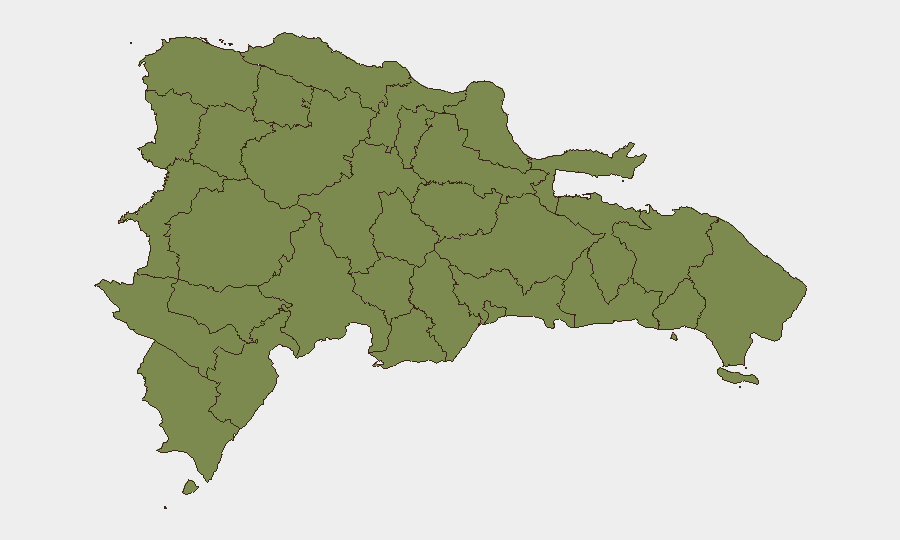
La Vega province's risk score of 31.5 is 20 times higher than any other tracked region, positioning it as the clear outlier. All other monitored provinces (Monte Cristi, Dajabón, Santiago Rodríguez, Valverde, Puerto Plata, Santiago, Espaillat, Hermanas Mirabal, Elías Piña, San Juan, and Independencia) score identically at 1.5, suggesting either highly concentrated localized volatility in La Vega or a discrete event cluster there. The reason for La Vega's elevation is not specified in recent open-source reporting and warrants targeted intelligence collection. Border provinces (Dajabón, Santiago Rodríguez, Elías Piña) and western coastal regions (Independencia, Valverde) maintain baseline tracking, consistent with migration and trafficking corridors but no reported acute incidents in the past 48 hours.
How GeoBit Would Assist
Organizations with personnel or assets in Dominican Republic should employ AOI Monitoring & Early Warning focused on La Vega and border corridors to detect escalation in real time. Intel Sweep and OSINT fusion (X/Twitter, local Dominican outlets, Telegram) would provide continuous feed of weather alerts, arrest activity, and border enforcement to inform duty-of-care decisions. Routing & Network Analysis and maritime tracking would enable alternative-route planning around current weather-imposed maritime restrictions and identify safe operational windows on coastal supply chains.
7-Day Outlook
Weather system is expected to weaken over 48–72 hours, with maritime restrictions likely to lift by 15–16 July, normalizing coastal and inter-island traffic. La Vega's elevated risk score and the absence of transparent public explanation warrant close monitoring; no intelligence currently suggests imminent escalation, but organizational presence in that province should maintain heightened situational awareness. Urban crime and irregular-migration activity will persist at baseline levels consistent with 2026 patterns.
Highest-Risk Areas — Ranked
| # | State / Region | Risk |
|---|---|---|
| 1 | La Vega | 31.5 |
| 2 | Monte Cristi | 1.5 |
| 3 | Dajabón | 1.5 |
| 4 | Santiago Rodríguez | 1.5 |
| 5 | Valverde | 1.5 |
| 6 | Puerto Plata | 1.5 |
| 7 | Santiago | 1.5 |
| 8 | Espaillat | 1.5 |
| 9 | Hermanas Mirabal | 1.5 |
| 10 | Elías Piña | 1.5 |
| 11 | San Juan | 1.5 |
| 12 | Independencia Province | 1.5 |
Sources
Previous Daily Briefs
A new Dominican Republic brief is written every day — each with its own risk map and downloadable CSV. Here's the last week; use the calendar to go further back.
📅 Browse every day by calendar →
Highlighted days have a brief. Tap a day for that day's map & analysis, or “csv” for that day's dataset ($5).
Atlas — our AI intelligence desk — emails them this snapshot personally. Nothing else, no list.