Situation Summary
Ghana remains a relatively stable democracy with a composite threat score of 9 (ranked #105 globally), but acute risks are concentrated in Greater Accra Region, which accounts for the majority of tracked security events. The most urgent immediate concern is the xenophobic violence and civil unrest affecting Ghanaian nationals in South Africa, prompting evacuation operations and revised travel advisories. Domestic institutional tension—reflected in signals involving presidential, judicial, and security-force actors on 2026-07-04—and urban infrastructure disruption from severe flooding in Accra add layered short-term risk to corporate operations and personnel in the capital.
Key Developments
- South Africa (Johannesburg & other cities) – *Early July 2026, ongoing*
Ghana's government has relocated approximately 900 Ghanaian nationals to safe locations and is preparing evacuation of ~300 more following renewed xenophobic violence and anti-foreigner protests. Ghana's foreign ministry has issued a travel advisory urging citizens to exercise extreme caution in high-risk South African districts and is coordinating with local authorities and diplomatic missions for potential airlift operations.
- Accra, Greater Accra Region – *Within last 1–2 days*
Severe urban flooding has caused significant disruption to roads and neighborhoods across the capital, creating acute travel hazards and potential property damage. Social and regional media report ongoing infrastructure strain and street-level transit impediments.
- Greater Accra Region (institutional/political signals) – *2026-07-04–07-05*
GeoBit event signals indicate multiple high-level incidents involving the president, high court, police, and security forces—including conventional military-force signals, abduction/hostage indicators, and judicial-executive demands. While open-source corroboration remains limited, the signal pattern suggests institutional stress that may constrain governmental response capacity and increase operational uncertainty.
- Greater Accra Region (mobile money crime) – *Friday, 2026-07-03; contextual*
A mobile-money vendor in Lashibi was ambushed by two armed assailants on a motorbike; one attacker was killed by return fire, and police recovered an AK-47 and ammunition. This incident, while outside the strict 48-hour window, reflects ongoing armed-robbery risk targeting cash handlers and logistics personnel in the capital.
Highest-Risk Areas
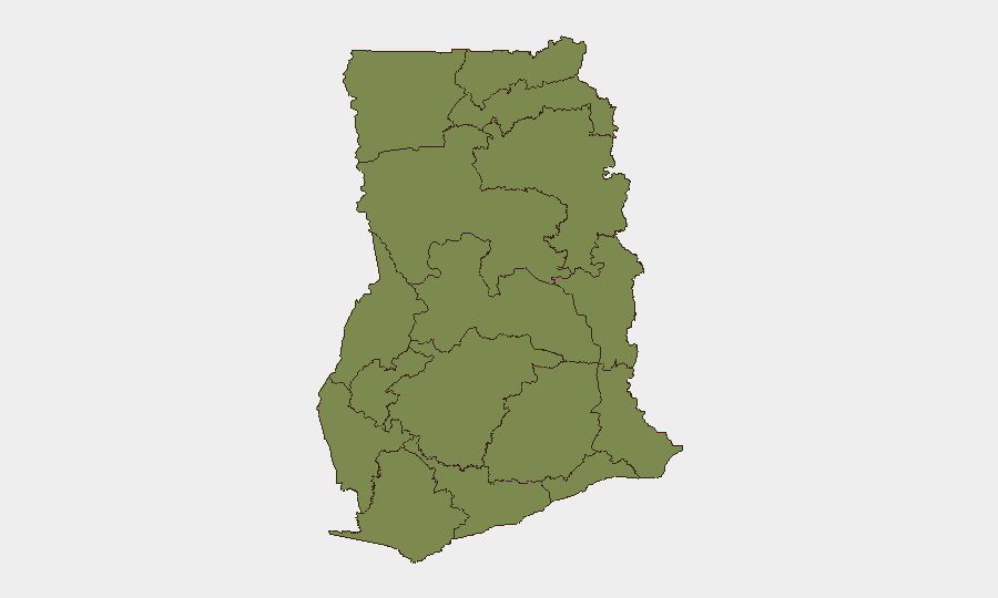
Greater Accra Region dominates the risk landscape with a composite score of 33.4—nearly three times the next-highest region (Eastern, 12.7). This concentration reflects both criminal activity (armed robbery, trafficking signals) and institutional/political tension. The Eastern Region's elevated score likely relates to cross-border dynamics and regional security spillover. All other tracked regions score between 3.4 and 4.4, indicating that security risk in Ghana remains heavily metropolitan and concentrated in the capital and its environs. For corporate operations, Greater Accra is the primary focus for defensive security planning, particularly around cash movement, personnel transit during flooding events, and consular/evacuation contingencies.
How GeoBit Would Assist
Security teams should deploy AOI (Area-of-Interest) Monitoring & Early Warning on Greater Accra and Johannesburg to detect escalations in xenophobic violence and institutional instability in near-real-time. Intel Sweep and multi-source OSINT fusion (X/Twitter, Telegram, local media, YouTube) would enable rapid corroboration of incident signals and travel disruption reports, allowing duty-of-care teams to adjust personnel routing and evacuation thresholds. Routing & Network Analysis tools can model alternative transit corridors within Accra during flooding events and support contingency planning for staff relocation.
7-Day Outlook
Xenophobic violence in South Africa is likely to remain elevated through mid-July, sustaining evacuation pressure and travel advisory restrictions for Ghanaian nationals. Urban flooding in Accra should recede as rainfall abates, but infrastructure recovery will lag, prolonging transit unpredictability. Institutional signals warrant close monitoring; any escalation in executive–judicial or security-force confrontation could trigger rapid policy changes affecting business operations and border/airport access.
Highest-Risk Areas — Ranked
| # | State / Region | Risk |
|---|---|---|
| 1 | Greater Accra Region | 33.4 |
| 2 | Eastern Region | 12.7 |
| 3 | Bono East Region | 4.4 |
| 4 | Volta Region | 4.1 |
| 5 | Upper East Region | 3.4 |
| 6 | Upper West Region | 3.4 |
| 7 | Savannah Region | 3.4 |
| 8 | North East Region | 3.4 |
| 9 | Northern Region | 3.4 |
| 10 | Oti Region | 3.4 |
| 11 | Bono Region | 3.4 |
| 12 | Ahafo Region | 3.4 |
Sources
Previous Daily Briefs
A new Ghana brief is written every day — each with its own risk map and downloadable CSV. Here's the last week; use the calendar to go further back.
📅 Browse every day by calendar →
Highlighted days have a brief. Tap a day for that day's map & analysis, or “csv” for that day's dataset ($5).
Atlas — our AI intelligence desk — emails them this snapshot personally. Nothing else, no list.