Situation Summary
Ireland remains a low-threat environment globally (rank #138, composite score 6) with 87 tracked security events. The vast majority of risk is concentrated in County Dublin, which accounts for the majority of the national threat profile. No major security incidents or civil unrest have been detected in the past 24–48 hours; the primary activity involves ongoing airline-related regulatory and diplomatic communications spanning multiple jurisdictions.
Key Developments
Unable to confirm Ireland-specific incidents in the last 24–48 hours from available sources. Recent event signals are dominated by airline-sector activity (public statements, investigations, rejections, appeals, and tribunal demands involving South Korean, U.S., and Irish aviation entities dated 2026-07-01 to 2026-07-03), but corroborated location, timing, and security/civil-order impact remain unclear from provided search results. Duty-of-care teams with aviation-sector exposure should monitor airline operational and regulatory updates for potential travel disruptions or compliance impacts, but no imminent ground-level risk to personnel or assets in Ireland has been identified.
Highest-Risk Areas
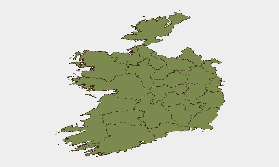
County Dublin dominates the national risk profile with a composite score of 31.8—approximately double all other counties combined. This concentration reflects the capital's status as Ireland's primary hub for government, finance, aviation, and international business, making it the focus of regulatory activity and cross-border disputes. County Tipperary (15.7) is the second-ranked area but remains substantially lower; all other counties score below 2.1. Risk in Dublin is primarily regulatory, diplomatic, and administrative rather than indicative of violent conflict or public-order breakdown, though security teams should maintain baseline awareness of transport chokepoints (airports, ports) and government/financial districts.
How GeoBit Would Assist
Intel Sweep and multi-language OSINT fusion across Irish news, social media (X/Twitter, Telegram), and official statements would enable real-time corroboration of airline disputes and regulatory developments affecting travel and supply chains. AOI Monitoring & Early Warning on Dublin's airport, port, and financial districts, combined with Routing & Network Analysis, would support contingency planning and alternative-access strategies for personnel or cargo in the event of transport disruption. Entity extraction and sentiment analysis of airline, government, and tribunal communications would provide early signals of escalation or resolution, informing duty-of-care escalations and travel advisories.
7-Day Outlook
The airline-sector regulatory disputes are expected to remain in appeal and tribunal phases over the coming week, with low probability of sudden operational impact. No indicators suggest widening civil unrest, crime escalation, or infrastructure disruption. Security teams should maintain routine monitoring of Dublin transport hubs and regulatory announcements; a return to baseline vigilance is appropriate unless cross-border airline sanctions or service cancellations materialize.
Highest-Risk Areas — Ranked
| # | State / Region | Risk |
|---|---|---|
| 1 | County Dublin | 31.8 |
| 2 | County Tipperary | 15.7 |
| 3 | County Clare | 2.1 |
| 4 | County Offaly | 2 |
| 5 | County Mayo | 1.8 |
| 6 | County Sligo | 1.8 |
| 7 | County Galway | 1.8 |
| 8 | County Limerick | 1.8 |
| 9 | County Donegal | 1.8 |
| 10 | County Leitrim | 1.8 |
| 11 | County Roscommon | 1.8 |
| 12 | County Cavan | 1.8 |
Sources
Previous Daily Briefs
A new Ireland brief is written every day — each with its own risk map and downloadable CSV. Here's the last week; use the calendar to go further back.
📅 Browse every day by calendar →
Highlighted days have a brief. Tap a day for that day's map & analysis, or “csv” for that day's dataset ($5).