Situation Summary
Mauritius maintains a composite threat score of 11 and does not rank among globally tracked high-risk jurisdictions. No credible security incidents, civil unrest, political events, crime flare-ups, or infrastructure failures have been reported in open sources over the last 24–48 hours. The overall security environment remains stable, with risk concentrated in specific districts rather than dispersed across the nation.
Key Developments
- No verified incidents in the last 24–48 hours. Open-source monitoring (news wires, social media, local reporting) has identified no timestamped security events, protests, crime spikes, or infrastructure disruptions in Mauritius during this window.
- Historical signal noted (2026-07-23): Mauritius vs. Barranquilla conventional military force and investigation event. This event appears in GeoBit's event feed but requires clarification; no corroborating detail on nature, location, or ongoing impact is currently visible in open reporting.
Highest-Risk Areas
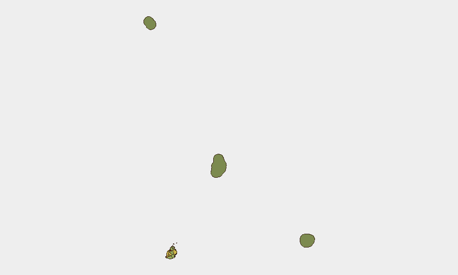
Port Louis (risk 92) dominates the sub-national threat landscape and accounts for the majority of Mauritius's composite risk score. The capital's elevated risk reflects typical urban concentrations of economic activity, infrastructure density, and petty crime. Plaines Wilhems (68), Black River (65), and Flacq (62) form a secondary tier; together they warrant routine monitoring but do not indicate imminent instability. All other districts score below 52, with Agaléga and Saint Brandon—remote island territories—posing minimal operational concern. Risk distribution suggests that duty-of-care protocols should prioritize Port Louis operations and transit corridors, with standard precautions sufficient for outlying regions.
How GeoBit Would Assist
AOI Monitoring & Early Warning would establish persistent surveillance of Port Louis and secondary risk zones, with alerting configured to flag civil unrest, protest activity, or security incidents in real time. Multi-language OSINT & X/Twitter monitoring combined with sentiment & temporal analysis would capture emerging social tension or planned events before escalation. Routing & Network Analysis would identify alternative travel and supply-chain routes around Port Louis during periods of heightened risk, and Intel Sweep feeds would maintain continuous awareness of regional maritime or political developments affecting Mauritius's security posture.
7-Day Outlook
No imminent threat escalation is indicated. Security conditions are expected to remain stable provided no major regional or economic shocks occur. Routine monitoring of Port Louis and regular review of the 2026-07-23 event signal (pending clarification) are sufficient to maintain situational awareness and support duty-of-care compliance.
Highest-Risk Areas — Ranked
| # | State / Region | Risk |
|---|---|---|
| 1 | Port Louis | 92 |
| 2 | Plaines Wilhems | 68 |
| 3 | Black River | 65 |
| 4 | Flacq | 62 |
| 5 | Grand Port | 58 |
| 6 | Moka | 52 |
| 7 | Savanne | 48 |
| 8 | Pamplemousses | 45 |
| 9 | Rivière du Rempart District | 38 |
| 10 | Rodrigues | 22 |
| 11 | Saint Brandon | 8 |
| 12 | Agaléga | 5 |
Previous Daily Briefs
A new Mauritius brief is written every day — each with its own risk map and downloadable CSV. Here's the last week; use the calendar to go further back.
📅 Browse every day by calendar →
Highlighted days have a brief. Tap a day for that day's map & analysis, or “csv” for that day's dataset ($5).
Atlas — our AI intelligence desk — emails them this snapshot personally. Nothing else, no list.