Situation Summary
Panama remains a moderate-risk environment (global ranking #100, composite threat score 5.0) characterized by localized violent crime, trafficking-related activity, and sporadic armed confrontation. The last 48 hours have recorded a fatal vehicle shooting in Panama City, ongoing Plan Firmeza police operations yielding dozens of arrests and weapons seizures nationwide, and continued prison-security incidents. The threat landscape is geographically concentrated, with Chiriquí province accounting for the majority of tracked risk, while broader security operations indicate sustained law-enforcement pressure on organized crime networks.
Key Developments
- Panama City, Panamá Viejo / Vía Cincuentenario — 2026-07-30: A shooting between two vehicles resulted in one fatality; police launched area sweep and investigation (Crítica, Telemetro).
- Panama City / Avenida Domingo Díaz — 2026-07-24 to 2026-07-25: The fifth motorcyclist fatality in 72 hours on this avenue signals acute road-safety deterioration; police investigating (local reporting).
- National scope, Plan Firmeza operations — 2026-07-26: Police reported 132–193 arrests in 24 hours (variation reflects reporting cut-off timing), with 7–12 firearms and 73+ ammunition rounds seized, indicating sustained interdiction of organized crime activity.
- Colón province — 2026-07-21: Armed attack killed one adult and injured another in Río Alejandro (El Cementito); case under prosecution investigation (noted as background context, outside 48-hour window but recent enough for operational awareness).
- Panamá Oeste, Arraiján — 2026-07-21 to 2026-07-22: Escaped homicide inmate Luis Pino Araúz recaptured by police, reflecting ongoing prison-security challenges (background reference for context on detention-system vulnerabilities).
- Diplomatic messaging — 2026-07-30: *The Economist* published statement critical of Panama government policy; concurrent Venezuelan-related arrests in Panama City reflect regional diplomatic tensions (context for operating environment).
Highest-Risk Areas
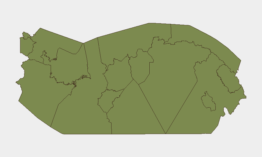
Chiriquí province dominates the sub-national risk ranking (31.4), more than 1.7 times higher than Panamá Province (17.6), and substantially above all other regions (3.7 or lower). This concentration reflects sustained trafficking activity, border-region gang presence, and proximity to Colombian conflict dynamics. Panamá Province—encompassing the capital and canal zone—carries secondary but material risk (17.6), driven by urban crime, prison incidents, and transit-corridor violence. All remaining provinces score 3.7 or below, indicating that organized-crime and violent-crime risk is highly localized to the western border and the capital metro area; rural and indigenous regions present minimal current threat signals.
How GeoBit Would Assist
Security teams operating in Panama should leverage Intel Sweep and multi-language OSINT fusion to monitor Chiriquí and Panamá Province in real time, combining X/Twitter and Telegram OSINT with local media feeds to detect emerging cartel or gang activity before operational impact. AOI Monitoring with persistent alerting on high-risk districts (Panamá Viejo, Arraiján, Colón transit zones) provides 24/7 early warning of violent incidents and police operations. Routing & Network Analysis enables alternative journey planning around documented violence hotspots (e.g., Avenida Domingo Díaz) and trafficking corridors, reducing exposure for personnel and assets in transit.
7-Day Outlook
Plan Firmeza operations are likely to continue at current tempo, maintaining arrest and seizure rates as police target organized-crime networks. Chiriquí and Panamá Province will remain elevated-risk zones; no de-escalation signals are evident. Road safety on high-incident avenues (Avenida Domingo Díaz, Vía Cincuentenario) warrants continued operational caution and alternative-routing protocols.
Highest-Risk Areas — Ranked
| # | State / Region | Risk |
|---|---|---|
| 1 | Chiriquí | 31.4 |
| 2 | Panamá Province | 17.6 |
| 3 | Veraguas | 3.7 |
| 4 | Guna Yala | 1.4 |
| 5 | Darién | 1.4 |
| 6 | Emberá-Wounaan | 1.4 |
| 7 | Naso Tjër Di | 1.4 |
| 8 | Bocas del Toro | 1.4 |
| 9 | Ngäbe-Buglé | 1.4 |
| 10 | Coclé | 1.4 |
| 11 | Colón | 1.4 |
| 12 | Panamá Oeste | 1.4 |
Sources
Previous Daily Briefs
A new Panama brief is written every day — each with its own risk map and downloadable CSV. Here's the last week; use the calendar to go further back.
📅 Browse every day by calendar →
Highlighted days have a brief. Tap a day for that day's map & analysis, or “csv” for that day's dataset ($5).
Atlas — our AI intelligence desk — emails them this snapshot personally. Nothing else, no list.