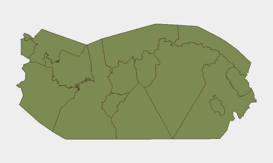
Situation Summary
Panama's security profile remains fragmented and volatile. A composite threat score of 14 reflects sustained gang violence, organized property crime, and localized instability concentrated in Coclé province and urban Panama City corridors, offset by calmer conditions across most indigenous and rural territories. The past 24–48 hours have recorded active gang confrontations, elevated police enforcement operations, and secondary crime waves in remote areas, indicating a pattern of sustained pressure rather than acute systemic deterioration. Duty-of-care exposure remains moderate to high for personnel in Coclé, Panama City, and transit zones, and lower elsewhere.
Key Developments
- Panamá Viejo, Via Cincuentenario, Panama City – morning 30 July 2026: Gang shootout left one fatality and three suspects detained; linked vehicle discovered in Campo Lindbergh with ballistic damage, investigations ongoing to confirm unified incident scope.
- Nationwide under "Plan Firmeza" – 24-hour operations reported 30 July 2026: 132–193 arrests (figures from parallel police reports), 68 coordinated raids, 12–7 firearms and ammunition seized, and arrests for drug micro-trafficking; operations concentrated in Colón and high-crime zones, indicating elevated checkpoint and stop-and-search activity for travelers.
- Colón City, Instituto Profesional y Técnico (IPT) – 30 July 2026: Student stabbed on school campus; classes suspended and police coordination initiated to prevent further campus violence.
- Finca 51, Changuinola, Bocas del Toro – reported late 30 July 2026: Series of home and farm robberies reported by residents; exact incident count unquantified but reflecting localized property-crime wave in this rural district.
- Pan-American Highway, Panamá Oeste – ongoing as of 30 July 2026: Metro Line 3 construction closures and lane disruptions causing congestion and elevated accident risk in work zones.
- Coclé province nationwide – 30 July 2026: Ministry of Security reinforcing patrols and targeted operations in Coclé; expect increased police presence and checkpoints in transit corridors.
Highest-Risk Areas
Coclé province dominates the risk landscape with a composite score of 31.3—more than three times that of Panamá Province (8.8)—driven by persistent gang activity, robbery networks, and enforcement operations. Panamá Province and its urban core (Panama City) rank second, reflecting the Panamá Viejo shootout and endemic gang competition in dense urban neighborhoods. Chiriquí follows at 6.3, while all remaining provinces cluster at 1.3, indicating that risk is highly concentrated: personnel in Coclé and Panama City require heightened situational awareness and restricted movement protocols, while those in indigenous territories and western provinces face significantly lower threat exposure.
How GeoBit Would Assist
Security teams should deploy AOI Monitoring & Early Warning on Coclé province, Panama City gang-active corridors, and Colón transit routes to track police operations, checkpoint activity, and crime-pattern shifts in real time. OSINT Fusion (X/Twitter, Telegram, local news feeds) combined with sentiment & temporal analysis will flag emerging gang territorial disputes or enforcement surges before they affect travel or personnel. Routing & Network Analysis capabilities enable rapid alternative-route planning around construction zones, gang hotspots, and police checkpoints as conditions change hourly.
7-Day Outlook
Police enforcement under Plan Firmeza is expected to sustain elevated checkpoint density and arrest activity through early August, particularly in Colón and Coclé, creating friction and delays for transit. Gang violence in urban Panama City corridors may escalate as rival groups respond to enforcement pressure; property crime in remote areas (Bocas del Toro, rural Coclé) will likely continue. Infrastructure disruptions on the Pan-American Highway should normalize within 7–10 days pending Metro construction schedules.
Highest-Risk Areas — Ranked
| # | State / Region | Risk |
|---|---|---|
| 1 | Coclé | 31.3 |
| 2 | Panamá Province | 8.8 |
| 3 | Chiriquí | 6.3 |
| 4 | Guna Yala | 1.3 |
| 5 | Darién | 1.3 |
| 6 | Emberá-Wounaan | 1.3 |
| 7 | Naso Tjër Di | 1.3 |
| 8 | Bocas del Toro | 1.3 |
| 9 | Ngäbe-Buglé | 1.3 |
| 10 | Colón | 1.3 |
| 11 | Panamá Oeste | 1.3 |
| 12 | Veraguas | 1.3 |
Sources
Previous Daily Briefs
A new Panama brief is written every day — each with its own risk map and downloadable CSV. Here's the last week; use the calendar to go further back.
📅 Browse every day by calendar →
Highlighted days have a brief. Tap a day for that day's map & analysis, or “csv” for that day's dataset ($5).
Atlas — our AI intelligence desk — emails them this snapshot personally. Nothing else, no list.