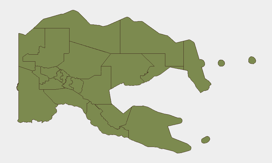
Situation Summary
Papua New Guinea remains at moderate composite threat level (#73 globally, composite score 16) with highly concentrated risk in the Western Highlands and Morobe provinces, where tribal and criminal violence, illegal firearms, and gang activity drive the majority of incident volume. The national capital and other regions show significantly lower baseline risk. Near-term security dynamics are shaped by ongoing joint military exercises, a recent moderate earthquake in the Manus region, and persistent illegal firearms circulation in Highlands provinces ahead of the 2027 elections—none of which represent acute instability but collectively warrant operational awareness.
Key Developments
- Manus Province – 13 July 18:53 local time: A magnitude 6.4 earthquake struck approximately 192 km southeast of Lorengau at ~10 km depth, raising short-term infrastructure and maritime-route safety concerns for the Manus region and adjacent waters.
- Port Moresby, Lae, Wewak – 13–24 July: Exercise "Tamiok Strike 2026," a joint U.S. Army Pacific and Papua New Guinea Defence Force training operation, commenced on 13 July. Military movements, traffic disruptions, and airspace restrictions are expected at these sites through 24 July.
- Papua New Guinea (national) – 13–14 July: Foreign Minister Justin Tkatchenko publicly condemned a Chinese missile test into the Pacific conducted with only a two-hour warning, characterizing it as a "misjudgment" and underscoring PNG's sensitivity to unannounced military activities in regional airspace and maritime zones.
- Highlands provinces (Enga, Hela, Southern Highlands) – statement 10 July, ongoing relevance: Police Commissioner David Manning reiterated that illegal firearms remain in wide circulation in Highlands provinces and pose a significant security threat ahead of the 2027 elections. A week-long police planning meeting on election-security preparations reflects heightened institutional focus on firearms-linked violence in these regions.
- Australia–Pacific region – 14 July: Australia announced formation of a "Pacific Ocean Peace Alliance" mutual defense pact with Fiji, building on existing treaties with the U.S., New Zealand, and Papua New Guinea. This reflects elevated regional defense cooperation and strategic alignment.
Highest-Risk Areas
Western Highlands (risk score 31.5) and Morobe (risk 24) account for the overwhelming majority of recorded security incidents and represent the primary threat surfaces for personnel and assets in Papua New Guinea. Both provinces are characterized by persistent tribal violence, gang activity, and illegal small-arms prevalence; Western Highlands in particular shows risk scores an order of magnitude above all other regions. The National Capital District (Port Moresby, risk 2.6) remains substantially safer than the Highlands on a per-incident basis, though urban crime and uncontrolled settlements remain operational concerns. All other provinces cluster at low baseline risk (1.5–1.5), with natural hazards and infrastructure disruptions often posing greater acute threat than deliberate violence.
How GeoBit Would Assist
Security teams should deploy AOI Monitoring & Early Warning on Western Highlands and Morobe to track incident clustering and temporal patterns ahead of elections; Intel Sweep and multi-language OSINT to corroborate local media and police statements on firearms trafficking; and Network & Actor Analysis to map tribal, criminal, and political factions driving violence. Routing & Network Analysis supports alternative-journey planning around high-risk corridors, while Satellite & Imagery analysis can assess infrastructure disruption from the Manus earthquake and monitor military-exercise footprints in Port Moresby, Lae, and Wewak.
7-Day Outlook
No acute political or security escalation is forecast for the next 7 days; the Manus earthquake is unlikely to trigger cascading regional instability, and Exercise Tamiok Strike will conclude by 24 July without reported friction. Baseline Highlands violence will likely persist at historical rates. Monitoring should remain fixed on illegal-firearms circulation and cross-border spillover from Indonesian Papua, both of which are slow-moving but persistent risk drivers.
Highest-Risk Areas — Ranked
| # | State / Region | Risk |
|---|---|---|
| 1 | Western Highlands | 31.5 |
| 2 | Morobe | 24 |
| 3 | National Capital District | 2.6 |
| 4 | Eastern Highlands | 1.5 |
| 5 | Gulf | 1.5 |
| 6 | Madang | 1.5 |
| 7 | Manus | 1.5 |
| 8 | West New Britain | 1.5 |
| 9 | New Ireland | 1.5 |
| 10 | East New Britain | 1.5 |
| 11 | Central | 1.5 |
| 12 | Oro | 1.5 |
Sources
Previous Daily Briefs
A new Papua New Guinea brief is written every day — each with its own risk map and downloadable CSV. Here's the last week; use the calendar to go further back.
📅 Browse every day by calendar →
Highlighted days have a brief. Tap a day for that day's map & analysis, or “csv” for that day's dataset ($5).
Atlas — our AI intelligence desk — emails them this snapshot personally. Nothing else, no list.