Situation Summary
Turkey remains at elevated national threat level (global rank #31, composite score 69) with acute political instability, civil unrest, and speech-related enforcement concentrated in urban centers, particularly Ankara and Istanbul. The concluding NATO summit and recent police actions against opposition leadership have intensified security operations and protest activity. No large-scale coordinated attacks were reported in the last 48 hours, but localized armed incidents, demonstration-related disruptions, and law-enforcement operations continue to create operational friction for corporate personnel and supply chains.
Key Developments
- Ankara (CHP headquarters), July 14–15, 2026: Police stormed opposition party headquarters and deployed tear gas to enforce a court ruling on party leadership; physical resistance, injuries, and allegations of unauthorized enforcement personnel were reported, signaling acute political tension in the capital and elevated risk of civil disorder in government districts.
- Istanbul (airport vicinity), within 48–72 hours before July 16: Stand-up comedian Deniz Göktaş arrested after YouTube performance on allegations of insulting religious values and the President; arrest underscores ongoing speech-related criminal enforcement and reputational/legal exposure for travelers engaged in public commentary or media work.
- Istanbul, July 15, 2026: Small arms combat reported between actors and police; investigation initiated by prosecutor, with police issuing public statements. Incident reflects localized armed activity and heightened police response in the city.
- Ankara (NATO Summit), July 14–15, 2026: Over 56,000 police and gendarmerie deployed during heads-of-state summit conclusion; movement restrictions and protest bans imposed in parts of the capital, causing localized travel disruption despite absence of major attacks.
- Nationwide (media sector), July 13–15, 2026: At least 11 journalists and media workers detained under security or defamation pretexts during NATO summit period, reflecting continued governance pressure on media and speech affecting foreign correspondents.
- Major cities (Istanbul, Ankara), ongoing into July 15, 2026: Repeated demonstrations and pro-Palestinian protests met with water cannon, rubber bullets, tear gas; metro closures and assembly bans imposed, creating persistent civil-unrest and movement-restriction risk for urban operations.
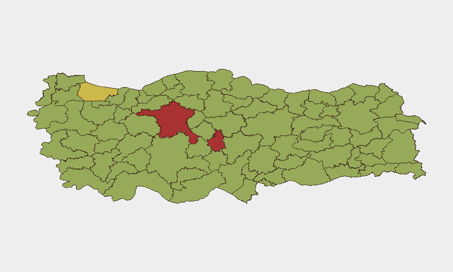
Highest-Risk Areas
Nevşehir (78.2) and Ankara (76.1) significantly exceed the national average and warrant priority monitoring. Ankara's elevated risk reflects political-instability events, NATO-related security operations, and law-enforcement intensity documented in the last 48 hours. Istanbul (65.8), though lower-ranked, remains operationally critical due to commercial concentration, airport throughput, and frequent protest activity. Southeast provinces (Şırnak, Şanlıurfa, Gaziantep) show persistent baseline risk driven by localized armed activity and enforcement operations; Nevşehir's exceptional score suggests acute incident concentration warranting direct assessment.
How GeoBit Would Assist
Intel Sweep, OSINT Fusion & Corroboration, and multi-language search enable real-time tracking of arrest waves, detention patterns, and speech-enforcement actions targeting foreign nationals or media workers. AOI Monitoring & Early Warning with persistent watch on Ankara, Istanbul, and Şırnak would deliver sub-24-hour alerting on protest mobilization, police operations, and armed incidents before they impact personnel movement. Routing & Network Analysis supports alternative journey planning when metro closures, assembly bans, or crowd events degrade primary transportation corridors in major cities.
7-Day Outlook
Political tension and enforcement operations are likely to remain elevated through mid-to-late July as NATO summit aftermath effects dissipate. Protest activity and speech-related detention will probably continue at current levels; summer travel season may increase concentration of foreign nationals in high-risk urban zones. No major escalation is currently forecasted, but localized disruptions and ad-hoc police operations should be monitored daily in Ankara and Istanbul.
Highest-Risk Areas — Ranked
| # | State / Region | Risk |
|---|---|---|
| 1 | Nevşehir | 78.2 |
| 2 | Ankara | 76.1 |
| 3 | Istanbul | 65.8 |
| 4 | Izmir | 54.1 |
| 5 | Gaziantep | 51.1 |
| 6 | Şırnak | 50.1 |
| 7 | Canakkale | 50.1 |
| 8 | Bursa | 49.4 |
| 9 | Antalya | 49.4 |
| 10 | Şanlıurfa | 48.7 |
| 11 | Malatya | 48.5 |
| 12 | Bingöl | 48.5 |
Sources
Previous Daily Briefs
A new Turkey brief is written every day — each with its own risk map and downloadable CSV. Here's the last week; use the calendar to go further back.
📅 Browse every day by calendar →
Highlighted days have a brief. Tap a day for that day's map & analysis, or “csv” for that day's dataset ($5).
Atlas — our AI intelligence desk — emails them this snapshot personally. Nothing else, no list.