Situation Summary
Bahrain's security environment remains elevated following a significant Iranian aerial attack campaign on July 24–26, 2026, during which multiple drones and missiles targeted critical infrastructure and military installations. No clearly documented security incidents have been reported in the last 24–48 hours (July 29–30), though the threat environment remains dynamic and regional tensions persist. All major governorates are assessed at equal composite risk (1.3), indicating distributed vulnerability across the kingdom rather than concentration in a single zone. The trajectory is cautious stabilization, contingent on absence of further cross-border escalation.
Key Developments
- No verified security incidents reported in last 24–48 hours (July 29–30, 2026). Open-source reporting currently accessible does not contain Bahrain-specific developments dating to July 29 or 30. Monitoring remains active for any emerging alerts.
- July 24–26 context: Kingdom-wide air-raid sirens activated and shelter-in-place guidance issued by Interior Ministry following Iranian missile and drone threats. Bahrain Defense Force intercepted and destroyed multiple aerial platforms. Iranian military claimed strikes on Isa Air Base and an AWS data center; U.S. Embassy Manama issued a complex-environment security alert on July 24. Debris from intercepted systems damaged residential areas (Hamad Town, Manama); at least one child injury reported. Shaikh Isa bin Salman Causeway experienced temporary lane closures. These events, while recent, fall outside the strict 24–48 hour window and should not be presented as current developments.
- Arrest/detention activity and judicial tension on July 28 (per GEOBIT event signals) suggest ongoing domestic security operations unrelated to the external threat; specific locations and operational details not yet confirmed in open reporting.
Highest-Risk Areas
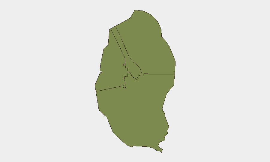
All four governorates (Northern, Capital, Southern, Muharraq) register identical composite risk scores (1.3), reflecting a kingdom-wide threat distribution rather than regional concentration. This parity suggests that critical infrastructure, population density, and cross-border proximity drive risk evenly across Bahrain's compact geography. The Capital Governorate (including Manama) and Northern Governorate remain operationally significant due to financial/administrative density and proximity to the Saudi causeway and Iranian waters, respectively. Organizations should not assume lower-risk zones; distributed equality of threat requires uniform duty-of-care protocols across all locations.
How GeoBit Would Assist
Intel Sweep & OSINT fusion across X/Twitter, Telegram, and regional open sources enable continuous monitoring for early warning of new attack activity, protest mobilization, or cross-border military movement. AOI Monitoring & Early Warning with persistent watch on critical nodes (Isa Air Base, Manama financial district, causeway crossings, ports) and alerts on aerial/maritime activity, combined with conflict & military tracking (force posture, air-defense status), provide real-time situational awareness. Alternative routing & network analysis supports duty-of-care teams in identifying safe transit corridors and re-routing personnel/supply chains if causeway or port closures recur.
7-Day Outlook
Absent new cross-border aggression or domestic escalation, Bahrain is likely to consolidate a return to baseline operations within 7 days. However, regional rhetoric and Iranian military signaling remain elevated, and the risk of secondary escalation or retaliatory action remains non-negligible. Organizations should maintain heightened readiness posture and monitor diplomatic channels and military communications for any resumption of threat activity.
Highest-Risk Areas — Ranked
| # | State / Region | Risk |
|---|---|---|
| 1 | Northern Governorate | 1.3 |
| 2 | Capital Governorate | 1.3 |
| 3 | Southern Governorate | 1.3 |
| 4 | Muharraq Governorate | 1.3 |
Sources
Previous Daily Briefs
A new Bahrain brief is written every day — each with its own risk map and downloadable CSV. Here's the last week; use the calendar to go further back.
📅 Browse every day by calendar →
Highlighted days have a brief. Tap a day for that day's map & analysis, or “csv” for that day's dataset ($5).
Atlas — our AI intelligence desk — emails them this snapshot personally. Nothing else, no list.