Situation Summary
The Dominican Republic remains a moderately elevated security environment (global rank #79, composite threat score 15) characterized by persistent armed robbery, violent crime in urban and resort areas, and significant road-safety hazards. The threat landscape is geographically concentrated, with Duarte and La Vega provinces accounting for the majority of tracked security events. Recent incidents—including armed assaults on commercial targets, arrests of organized robbery networks, and isolated violent episodes in tourist zones—indicate active criminal networks rather than state instability, but the frequency and reach of incidents warrant sustained monitoring for corporate and transient populations.
Key Developments
- Punta Cana (La Altagracia), 17 Jul 2026: Video evidence circulating on social media and Dominican news outlets documents a violent incident at Moon Palace hotel in which a staff member assaulted and threw objects at tourists in the restaurant area, described locally as a psychiatric episode; hotel management response and disciplinary action remain unconfirmed as of publication.
- Don Juan (Monte Plata), 16 Jul 2026: Armed robbery of Tropigas LPG station and armored cash-transport vehicle at approximately 16:00 local time by six men in a black Jeep Cherokee; cash was stolen and perpetrators remain at large; private security firm statements filed with local police.
- Pedro Brand (Santo Domingo), 16 Jul 2026: National Police announced arrest of three alleged armed robbers linked to a multi-province criminal structure; arrests followed intelligence operation initiated after a prior remittance-messenger robbery in Moca (Espaillat), indicating organized criminal networks operating across provinces.
- Nationwide road safety, data released 16 Jul 2026: Observatory of Road Safety reported 1,103 deaths and 30,826 injuries from traffic accidents year-to-date in 2026; figures underscore sustained elevated risk on Dominican highways and secondary roads, particularly for personnel requiring ground transport.
- Tourist-zone advisory update (current mid-July 2026): Foreign-travel guidance continues to rate Dominican Republic as requiring "high degree of caution" due to armed robbery threat; POLITUR and 911 systems noted as available but efficacy limited in remote or night-time incidents.
Highest-Risk Areas
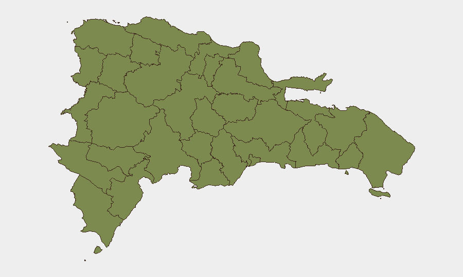
Duarte province (composite risk 31.8) and La Vega (23.4) together represent approximately 75% of tracked security events and significantly exceed risk profiles in other regions. Both provinces show active criminal networks engaged in armed robbery and violent crime, with Duarte appearing to be a nexus for organized multi-provincial operations. The marked drop in risk scores below the top two provinces (San José de Ocoa at 3.7, all others at 1.8) suggests that corporate and personnel security concerns should prioritize travel restrictions or enhanced protective measures in the Duarte–La Vega corridor, while southern and western provinces present materially lower baseline threat.
How GeoBit Would Assist
Security teams would employ AOI Monitoring & Early Warning to establish persistent watch on high-risk provinces (Duarte, La Vega) and tourist zones (Punta Cana, Puerto Plata, Santo Domingo) with automated alerting on violent incidents, armed robbery, and protest activity. Intel Sweep and X/Twitter OSINT capabilities enable real-time tracking of emerging criminal incidents and social-media signals of instability before formal police reporting. Routing & Network Analysis supports alternative-route planning and ground-transport risk mitigation for personnel movement between provinces and urban centers.
7-Day Outlook
No significant escalation in state-level instability is forecast; however, armed robbery activity and organized crime operations are expected to persist at current levels across Duarte and La Vega provinces. Tourist-zone incidents, such as the Moon Palace episode, are likely to remain sporadic and non-systemic. Road-safety hazards will remain elevated throughout the reporting period.
Highest-Risk Areas — Ranked
| # | State / Region | Risk |
|---|---|---|
| 1 | Duarte | 31.8 |
| 2 | La Vega | 23.4 |
| 3 | San José de Ocoa | 3.7 |
| 4 | Monte Cristi | 1.8 |
| 5 | Dajabón | 1.8 |
| 6 | Santiago Rodríguez | 1.8 |
| 7 | Valverde | 1.8 |
| 8 | Puerto Plata | 1.8 |
| 9 | Santiago | 1.8 |
| 10 | Espaillat | 1.8 |
| 11 | Hermanas Mirabal | 1.8 |
| 12 | Elías Piña | 1.8 |
Sources
Previous Daily Briefs
A new Dominican Republic brief is written every day — each with its own risk map and downloadable CSV. Here's the last week; use the calendar to go further back.
📅 Browse every day by calendar →
Highlighted days have a brief. Tap a day for that day's map & analysis, or “csv” for that day's dataset ($5).
Atlas — our AI intelligence desk — emails them this snapshot personally. Nothing else, no list.