Situation Summary
Indonesia's composite threat score of 35 places it at #44 globally, with 1,024 tracked events reflecting a complex security landscape dominated by urban group violence, labor unrest, and military activity in conflict-affected regions. Jakarta's elevated risk (54.5) is driven by recent fatal clashes and ongoing investigations into organized violence, while North Sumatra, East Java, and the Java corridor show sustained pressure from anti-government protests, fuel-related demonstrations, and industrial incidents. Military deployments to Papua and recent drone-related civilian injury reports signal heightened activity in the archipelago's most volatile periphery. The threat trajectory remains moderate but volatile, with urban disorder, supply-chain disruptions, and localized conflict unlikely to abate in the near term.
Key Developments
- Jakarta (Menteng, Tambak Street) – July 26–31: Police arrested eight youths following a fatal clash between organized groups that killed one man and seriously injured two others. The incident reflects persistent gang violence in central Jakarta and ongoing police investigations into group-coordinated assaults.
- Surabaya, East Java – July 31 (within 24–48h): Around 100 protesters clashed with police near a government building over fuel price hikes and presidential policy objections, resulting in scuffles, barrier breaches, and multiple arrests. The demonstration marks escalation of anti-government sentiment in East Java.
- Medan, North Sumatra – July 31 (within 24–48h): Hundreds of motorcycle taxi drivers protested outside a Pertamina office demanding solutions to fuel shortages causing station queues across the city. The labor-driven demonstration reflects growing supply-chain stress and workforce grievance in a high-risk region.
- Intan Jaya, Papua – July 31: Local groups reported a drone-related civilian injury in Intan Jaya Regency, raising concerns about aerial-asset use in an active conflict environment and indicating potential escalation of military tactics in Papua.
- Papua airstrips – July 31: Indonesia's Joint Regional Defense Command III announced military personnel deployments to guard high-risk airstrips in Papua, signaling a confirmed posture shift in response to aviation security threats.
- Banda Aceh, Aceh – July 31: Customs and Excise agencies foiled a gold-smuggling attempt involving a Chinese national, reflecting ongoing transnational smuggling activity along the Aceh–Malaysia border route.
- Cilegon, Banten – recent days: A chemical factory explosion injured workers, underscoring industrial-safety and infrastructure vulnerabilities in a major manufacturing hub.
- South Sumatra plantation area – recent days: A clash over land or labor issues resulted in one death and three wounded, illustrating ongoing rural conflict risks in plantation zones.
Highest-Risk Areas
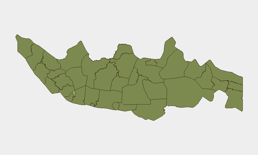
Jakarta (54.5) dominates the risk landscape due to concentrated urban violence, organized gang activity, and investigative intensity. North Sumatra (35.6) is elevated by fuel-supply disruptions and labor unrest, creating potential flashpoints for larger demonstrations. East Java (29.4) is driven by anti-government sentiment and protest activity, while the Java corridor (West Java, Banten, Central Java: 26.1–26.6) shows distributed risk across industrial facilities, labor disputes, and transportation hubs. Papua's exclusion from the top twelve (due to methodological weighting) masks acute military–civilian tension and drone-related incidents that pose severe risk to personnel and aviation operations.
How GeoBit Would Assist
Security teams should deploy AOI Monitoring & Early Warning on Jakarta's high-crime districts, North Sumatra's fuel-distribution nodes, and East Java protest zones for real-time alert capability. Conflict & Military tools and Satellite & Imagery analysis enable tracking of Papua military deployments and airstrip security changes. Routing & Network Analysis supports alternative journey planning for staff in fuel-disruption areas and around protest activity.
7-Day Outlook
Fuel-supply pressures and anti-government messaging are likely to sustain labor protests and demonstrations across Java through early August. Papua military activity will remain elevated, with continued drone and airstrip-security developments. Urban violence in Jakarta and gang-coordinated incidents should be monitored for escalation signals.
Highest-Risk Areas — Ranked
| # | State / Region | Risk |
|---|---|---|
| 1 | Special capital Region of Jakarta | 54.5 |
| 2 | North Sumatra | 35.6 |
| 3 | East Java | 29.4 |
| 4 | West Java | 26.6 |
| 5 | Banten | 26.6 |
| 6 | Central Java | 26.1 |
| 7 | Bali | 26.1 |
| 8 | Central Kalimantan | 25.7 |
| 9 | Riau | 25.7 |
| 10 | West Kalimantan | 25.7 |
| 11 | South Sulawesi | 25.3 |
| 12 | East Nusa Tenggara | 24.9 |
Sources
Previous Daily Briefs
A new Indonesia brief is written every day — each with its own risk map and downloadable CSV. Here's the last week; use the calendar to go further back.
📅 Browse every day by calendar →
Highlighted days have a brief. Tap a day for that day's map & analysis, or “csv” for that day's dataset ($5).
Atlas — our AI intelligence desk — emails them this snapshot personally. Nothing else, no list.