Situation Summary
Tonga remains a low-threat environment with no confirmed security incidents, civil unrest, crime spikes, or infrastructure failures reported in the last 24–48 hours. The nation ranks #191 globally on GeoBit's composite threat index (score 2) and continues to experience routine governance and diplomatic activity. Near-term risk is driven primarily by localized factors in the capital region rather than systemic instability or external threats.
Key Developments
- No confirmed security incidents in the last 24–48 hours. Web and social-media research yielded no verifiable events meeting incident thresholds (conflict, unrest, crime spike, infrastructure failure, or travel risk) within the target window.
- Electoral activity (routine). By-election preparations for Tongatapu 2 and Niua 17 constituencies are underway as of 10 August; these represent normal democratic process, not political instability.
- Drug-enforcement operation (5 August, outside 48h window). Television Tonga reported arrests of two men in a police narcotics operation, confirming continued low-level drug activity but not indicating a surge or organized-crime escalation.
- Diplomatic engagement (context). Australian Senator Wong met Crown Prince Tupouto'a 'Ulukalala in early August, reflecting routine Pacific diplomatic engagement with no security implications.
Highest-Risk Areas
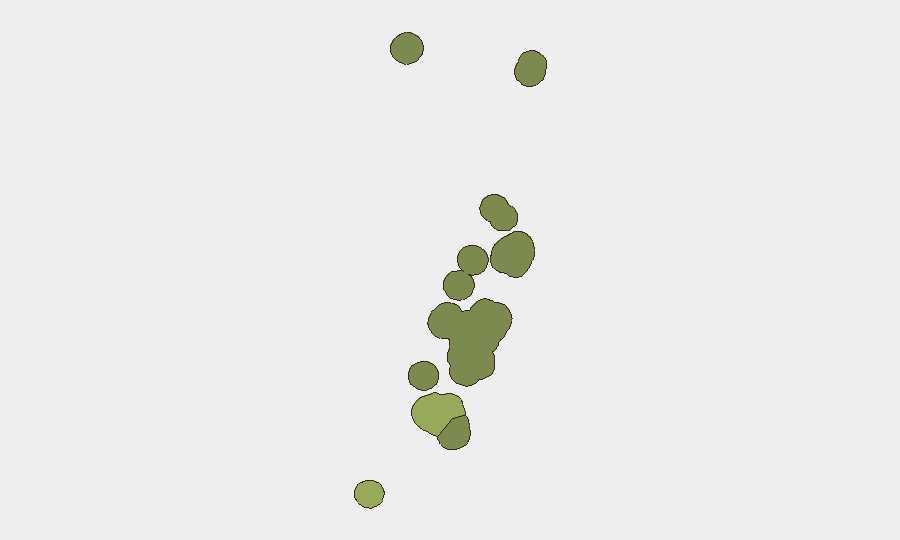
Tongatapu (composite risk 45) dominates the threat picture and accounts for the majority of Tonga's overall risk exposure; as the capital region and seat of government, it concentrates population, infrastructure, and administrative activity. Vavaʻu (risk 28) and Haʻapai (risk 22) represent secondary risk nodes, likely reflecting their size and connectivity. ʻEua and Ongo Niua carry minimal risk profiles. Risk drivers are not active conflict or civil unrest but rather standard urban crime, routine law-enforcement operations, and isolated infrastructure vulnerabilities typical of small-island developing states.
How GeoBit Would Assist
Teams with personnel or assets in Tonga should deploy AOI Monitoring & Early Warning on Tongatapu and secondary population centers to detect emerging crime, unrest, or infrastructure disruptions with low latency. Intelligence & OSINT (X/Twitter OSINT, local outlet monitoring, and multi-language feeds) provides persistent watch of Tongan media and social channels to catch early signals of political, security, or health developments before they escalate. Routing & Network Analysis supports contingency planning for personnel movement and supply-chain alternatives in the event of port, airport, or road disruption.
7-Day Outlook
No material change in threat posture is anticipated over the next seven days. Electoral activity will continue without incident, routine enforcement operations will proceed, and diplomatic engagement will remain calm. Teams should maintain standard duty-of-care protocols and treat Tonga as a low-risk jurisdiction unless localized signals (crime surge, port disruption, political friction) emerge.
Highest-Risk Areas — Ranked
| # | State / Region | Risk |
|---|---|---|
| 1 | Tongatapu | 45 |
| 2 | Vavaʻu | 28 |
| 3 | Haʻapai | 22 |
| 4 | ʻEua | 18 |
| 5 | Ongo Niua | 12 |
Sources
Previous Daily Briefs
A new Tonga brief is written every day — each with its own risk map and downloadable CSV. Here's the last week; use the calendar to go further back.
📅 Browse every day by calendar →
Highlighted days have a brief. Tap a day for that day's map & analysis, or “csv” for that day's dataset ($5).
Atlas — our AI intelligence desk — emails them this snapshot personally. Nothing else, no list.