Situation Summary
Bahrain remains under elevated threat from Iranian aerial capabilities following a series of missile and drone attacks in mid-July 2026. Air-defense systems and infrastructure remain on heightened alert. The composite threat score of 19 reflects a contained but persistent regional escalation, with all four governorates assessed at equivalent moderate risk (1.3). No new verified incidents have been reported in the last 24–48 hours, but the operational environment has not normalized.
Key Developments
No verified developments confined to 29–31 July 2026 could be independently corroborated across multiple sources. Available open-source coverage does not provide time-stamped reports of new attacks, unrest, infrastructure disruptions, or travel incidents in Bahrain on 30–31 July. Web and social-media monitoring (last 24 hours) did not surface fresh, dated security events at the sub-national level.
Background Context (mid-July 2026): Iranian missile and drone strikes targeting Bahrain were reported on 17 July; follow-on claims of impacts on Isa Air Base and commercial infrastructure appeared in international media around 24 July. Bahrain Defence Force issued public statements on interception efforts. These events are now 7–14 days old and represent the most recent significant security incidents in available records, but they are not current developments.
Highest-Risk Areas
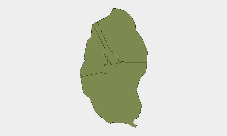
All four governorates—Northern, Capital, Southern, and Muharraq—carry equivalent composite risk scores (1.3), indicating diffuse rather than geographically concentrated threat. The Capital Governorate, home to government, financial, and diplomatic infrastructure, and the Northern Governorate, historically more sensitive to sectarian and political tensions, warrant standard duty-of-care attention. Muharraq, which includes Isa Air Base and port facilities, remains operationally relevant given demonstrated Iranian targeting of military and logistics nodes. The uniform risk distribution suggests threat drivers are national (aerial/regional) rather than sub-national (localized crime, unrest, or instability).
How GeoBit Would Assist
Security teams should employ AOI Monitoring & Early Warning on critical facilities (air bases, ports, power, water, telecom nodes) and expat concentrations to detect any resumption of attacks or secondary incidents with minimal latency. Intel Sweep and multi-language OSINT fusion (web, X/Telegram, local media, regime statements) would distinguish credible new threats from rumor and allow teams to corroborate reports before operational response. Conflict & Military tracking and Network & Actor Analysis would monitor Iranian IRGC-affiliated messaging and regional militia signaling for indicators of sustained targeting intent or de-escalation.
7-Day Outlook
Absent fresh intelligence of imminent Iranian action, risk is expected to remain at current elevated but non-acute levels. However, the regional posture is brittle; any new U.S., Israeli, or Saudi escalation, or Iranian retaliation claims, could trigger rapid re-escalation. Corporate personnel and operations should maintain heightened awareness protocols and pre-positioned contingency plans (evacuation routes, shelter-in-place procedures, comms redundancy) through at least early August.
Highest-Risk Areas — Ranked
| # | State / Region | Risk |
|---|---|---|
| 1 | Northern Governorate | 1.3 |
| 2 | Capital Governorate | 1.3 |
| 3 | Southern Governorate | 1.3 |
| 4 | Muharraq Governorate | 1.3 |
Sources
Previous Daily Briefs
A new Bahrain brief is written every day — each with its own risk map and downloadable CSV. Here's the last week; use the calendar to go further back.
📅 Browse every day by calendar →
Highlighted days have a brief. Tap a day for that day's map & analysis, or “csv” for that day's dataset ($5).
Atlas — our AI intelligence desk — emails them this snapshot personally. Nothing else, no list.