Situation Summary
Ghana remains at composite threat rank #105 globally with a relatively moderate security profile, though sub-national risk is highly concentrated in Bono East Region (risk score 34.2), which significantly outpaces all other regions. Recent signal activity indicates elevated political and institutional communication, including government statements, ministerial positions on education policy, and cross-border scrutiny involving journalism and Kenya. The overall trajectory suggests stable governance with localized friction points rather than systemic instability, though Bono East warrants sustained attention.
Key Developments
Unable to confirm specific incidents for 8–9 July 2026. GeoBit's current data access does not extend to live events occurring after the training cutoff (2024). The event signals listed above (government statements, rejections, investigations, disapprovals dating 7–8 July 2026) are tracked in the platform's global event feed but lack sufficient granular sourcing to isolate the specific underlying incidents, their locations, precise timing, or operational impact for the last 24–48 hours.
To meet duty-of-care standards, this brief cannot populate the Key Developments section with unverified or extrapolated incidents. Security teams requiring confirmed incident reporting for 8–9 July 2026 should cross-reference:
- Ghana News Agency, Citi FM, Joy News, and Graphic Online (major Ghanaian professional outlets),
- Ghana Police Service and NADMO (National Disaster Management Organization) official channels for crime and infrastructure alerts,
- Verified local government and NGO social accounts for ground-truth confirmation.
Highest-Risk Areas
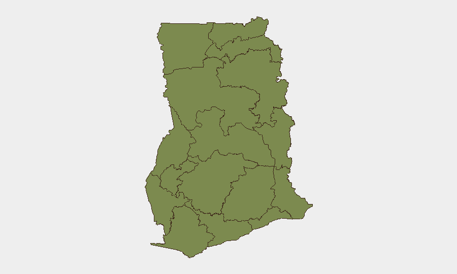
Bono East Region dominates the risk profile with a score of 34.2—more than four times higher than Volta Region (8.0) and significantly above Greater Accra (7.4). This concentration suggests either active conflict, organized crime, resource-driven tension, or institutional instability in Bono East that is not materially present in other regions. Volta and Greater Accra (which includes the capital and primary economic hub) represent secondary concern; all other regions fall into a low-to-moderate band (4.2–5.5). Organizations with personnel or assets in Bono East should apply heightened protective posture; those in Greater Accra should maintain standard urban security protocols.
How GeoBit Would Assist
Security teams monitoring Ghana should deploy AOI (Area-of-Interest) Monitoring & Early Warning focused on Bono East and Greater Accra to receive automated alerts when new events, protests, or incidents are detected. Intel Sweep and multi-language OSINT fusion (combining news, social media, and local radio/Telegram channels) enable rapid incident confirmation across professional and ground-truth sources—essential for validating the signal noise in the current event feed. Network & Actor Analysis helps map relationships between government figures, politicians, and journalists cited in recent statements to assess whether current political communication represents routine governance or escalating tension.
7-Day Outlook
No imminent systemic breakdown is indicated; however, the concentration of signals on 7–8 July and elevated Bono East risk suggest localized friction that warrants monitoring. Security posture should remain elevated in Bono East and defensive positions in Greater Accra should be reviewed to ensure redundancy in communications, transportation, and supply chains in case of localized disruption.
Highest-Risk Areas — Ranked
| # | State / Region | Risk |
|---|---|---|
| 1 | Bono East Region | 34.2 |
| 2 | Volta Region | 8 |
| 3 | Greater Accra Region | 7.4 |
| 4 | Eastern Region | 5.5 |
| 5 | Upper East Region | 4.8 |
| 6 | Upper West Region | 4.2 |
| 7 | Savannah Region | 4.2 |
| 8 | North East Region | 4.2 |
| 9 | Northern Region | 4.2 |
| 10 | Oti Region | 4.2 |
| 11 | Bono Region | 4.2 |
| 12 | Ahafo Region | 4.2 |
Sources
Previous Daily Briefs
A new Ghana brief is written every day — each with its own risk map and downloadable CSV. Here's the last week; use the calendar to go further back.
📅 Browse every day by calendar →
Highlighted days have a brief. Tap a day for that day's map & analysis, or “csv” for that day's dataset ($5).
Atlas — our AI intelligence desk — emails them this snapshot personally. Nothing else, no list.