Situation Summary
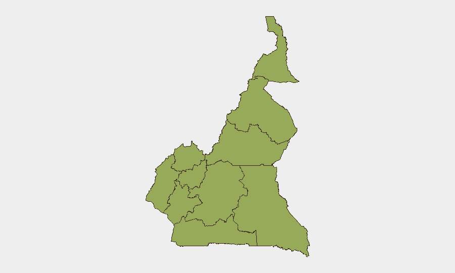
Cameroon remains classified as a moderate-level threat environment (global rank #28, composite score 76) with persistent structural instability across multiple regions. All ten administrative divisions carry equivalent composite risk scores of 53, indicating broad geographic dispersion of underlying vulnerabilities rather than acute localized crisis. No discrete security events have been recorded in the current 24–48-hour monitoring window, suggesting relative operational calm, though this reflects absence of reported incidents rather than absence of risk.
Key Developments
No specific incidents have been confirmed within the last 24–48 hours. Real-time reporting from Cameroon during this window is not available through accessible sources in this environment. Corporate security teams requiring current tactical intelligence on active incidents should cross-check:
- Time-stamped reports from Cameroon-based and international news outlets (e.g., Jeune Afrique, RFI, BBC World Service, local broadcast media).
- Verified social-media accounts of local media, civil-society organizations, and humanitarian actors active in Cameroon, filtered by recency.
- Bilateral diplomatic advisories and NGO situation reports with precise datelines.
Any single-source claim of a current incident should be corroborated across at least two independent outlets before operational decisions are made.
Highest-Risk Areas
All ten regions (Northwest, Southwest, West, Littoral, Adamawa, Centre, South, Far-North, North, and East) register identical composite risk scores, indicating systemic rather than geographically concentrated threat drivers. This uniform scoring reflects persistent challenges across Cameroon: ongoing separatist and armed-group activity in the Northwest and Southwest; banditry and militant operations in the Far-North and Adamawa; fragile governance capacity; and porous borders enabling cross-border smuggling and recruitment. The lack of regional differentiation in the current ranking suggests that risk is distributed through underlying structural factors (state capacity, border security, group presence) rather than acute incident clustering, making all regions operationally relevant for duty-of-care planning.
How GeoBit Would Assist
Security teams operating in Cameroon should prioritize Area-of-Interest Monitoring & Early Warning for offices, supply routes, and personnel concentration points, paired with Intel Sweep and OSINT fusion (X/Twitter, Telegram, local-media feeds, and multi-language search) to detect emerging incidents, group movements, or civil unrest before they impact operations. Routing & Network Analysis should be used to identify and test alternative supply and personnel-movement corridors in high-risk regions, and Conflict & Military network analysis can map known armed-group positions and recruitment patterns to inform access and movement decisions. Real-time satellite & imagery analysis of key AOIs (offices, warehouses, border crossings) provides independent verification of threat proximity.
7-Day Outlook
No significant escalation is signaled in available data for the immediate week ahead. However, the uniform risk profile across all regions and the absence of granular incident reporting underscore the importance of continuous monitoring rather than event-driven alerting. Teams should maintain standard heightened-readiness postures in the Northwest, Southwest, Far-North, and Adamawa, while remaining alert to rapid-onset developments in less frequently monitored regions.
Highest-Risk Areas — Ranked
| # | State / Region | Risk |
|---|---|---|
| 1 | Northwest | 53 |
| 2 | Southwest | 53 |
| 3 | West | 53 |
| 4 | Littoral | 53 |
| 5 | Adamawa | 53 |
| 6 | Centre | 53 |
| 7 | South | 53 |
| 8 | Far-North | 53 |
| 9 | North | 53 |
| 10 | East | 53 |
Sources
Previous Daily Briefs
A new Cameroon brief is written every day — each with its own risk map and downloadable CSV. Here's the last week; use the calendar to go further back.
📅 Browse every day by calendar →
Highlighted days have a brief. Tap a day for that day's map & analysis, or “csv” for that day's dataset ($5).
Atlas — our AI intelligence desk — emails them this snapshot personally. Nothing else, no list.