Situation Summary
Germany faces an elevated and broadening security picture as of mid-July 2026, driven by a convergence of transport vulnerabilities, far-right political mobilization, and explicit national-level terrorism warnings. Interior Minister Dobrindt's public statement on Saturday (July 18) that Germany must anticipate attacks "at any time" against infrastructure and institutions signals heightened official threat perception. The composite threat score of 5 (ranking #134 globally) masks a sharply concentrated sub-national risk distribution, with Thuringia (32.2) and Berlin (18.1) dominating the aggregate; near-term trajectory remains upward.
Key Developments
- Deutsche Bahn assault, Offenburg–Karlsruhe rail line, Baden‑Württemberg, Friday July 17 evening – A railway security guard suffered life-threatening injuries after being forced from a moving regional train by a passenger; investigators are examining the circumstances of the door opening and have identified the suspect, raising immediate rail-security concerns on southwestern corridors.
- Interior Minister terrorism warning, national level, Saturday July 18 – Interior Minister Alexander Dobrindt publicly warned of "high" terror threat level and stated Germany must expect possible attacks "at any time" with "recognizable attack plans" targeting infrastructure, individuals, and institutions, marking a notable escalation in official public threat posture.
- AfD state campaign launch, Magdeburg, Saxony‑Anhalt, Saturday July 18 – The far-right AfD party opened its state election campaign with heightened police monitoring for political unrest and counter-protests, reflecting ongoing tensions around far-right political activity and public-order management.
- AfD internal consolidation, North Rhine‑Westphalia state party congress, Saturday July 18 – The Vincentz faction secured control of regional party organization; security services continue monitoring such gatherings due to radicalization and protest risk.
- A5 motorway collision, Baden‑Württemberg/French border, Friday July 17 – A weather-related multi-vehicle crash (two cars, one coach) on rain-soaked pavement injured ten people and disrupted cross-border traffic on a key logistics corridor.
- Intercity emergency stop, Offenbach–Hanau rail line, Hesse, Friday July 17 – A high-speed train performed emergency braking after striking sheep on tracks; 10–15 animals were killed; no human casualties but operational delays on a central German rail corridor.
Highest-Risk Areas
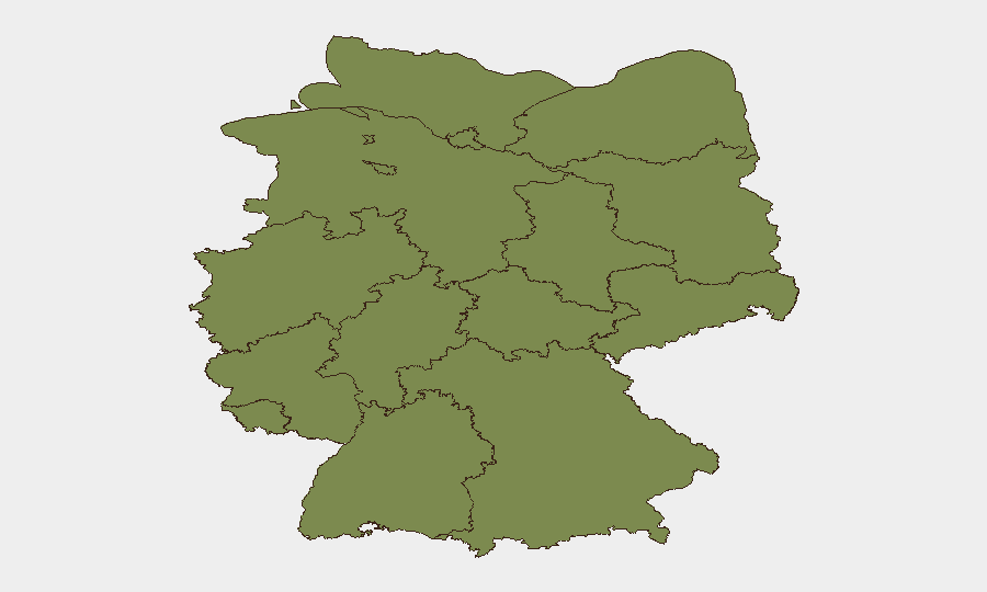
Thuringia (32.2) and Berlin (18.1) together account for approximately 73% of tracked events and drive overall German risk scoring, reflecting sustained far-right political activity, protest dynamics, and protest-related disorder in both regions. Lower Saxony (8.3) and Bavaria (6.9) show secondary but non-negligible elevation, likely linked to ongoing political mobilization and cross-border logistics exposure. Transport corridors—rail and motorway—are emerging as specific vectors of acute incident concentration, particularly in Baden‑Württemberg and Hesse, warranting operational risk reassessment for personnel and supply-chain continuity.
How GeoBit Would Assist
Security teams should deploy AOI Monitoring & Early Warning on Thuringia, Berlin, and high-risk transport nodes (A5, rail lines Offenburg–Karlsruhe, Offenbach–Hanau) to detect emerging patterns in unrest, infrastructure targeting, or operational disruption before escalation. Intel Sweep (X/Telegram OSINT, multi-language news fusion, entity extraction) combined with Sentiment & Temporal Analysis will surface emerging radicalization, attack planning, or transport-sector vulnerabilities in near real time. Routing & Network Analysis and alternative journey planning will enable duty-of-care teams to model safe transit options and personnel movement in high-risk sub-national zones.
7-Day Outlook
Current trajectory points toward sustained elevated threat posture through late July, driven by ongoing far-right political activity, official terrorism messaging, and transport-sector vulnerability. No imminent de-escalation indicators are present; operationally, assume continued police presence at political gatherings and heightened scrutiny of transport infrastructure. Monitor Interior Ministry statements and regional law-enforcement advisories daily.
Highest-Risk Areas — Ranked
| # | State / Region | Risk |
|---|---|---|
| 1 | Thuringia | 32.2 |
| 2 | Berlin | 18.1 |
| 3 | Lower Saxony | 8.3 |
| 4 | Bavaria | 6.9 |
| 5 | Hamburg | 5.6 |
| 6 | Saxony | 5 |
| 7 | Hesse | 3.8 |
| 8 | Baden-Württemberg | 3.2 |
| 9 | North Rhine-Westphalia | 2.6 |
| 10 | Mecklenburg-Vorpommern | 2.4 |
| 11 | Rhineland-Palatinate | 2.2 |
| 12 | Schleswig-Holstein | 2.2 |
Previous Daily Briefs
A new Germany brief is written every day — each with its own risk map and downloadable CSV. Here's the last week; use the calendar to go further back.
📅 Browse every day by calendar →
Highlighted days have a brief. Tap a day for that day's map & analysis, or “csv” for that day's dataset ($5).
Atlas — our AI intelligence desk — emails them this snapshot personally. Nothing else, no list.