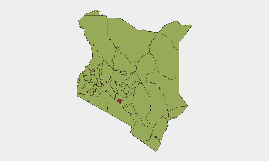
Situation Summary
Kenya remains at composite threat rank #24 globally with 82 tracked security events, driven primarily by persistent Al-Shabaab militant activity along the Somalia border and escalating political tensions in Nairobi. The country is experiencing a dual-layer security challenge: active border violence in Mandera County and central government instability signaled by heavy security lockdowns and politically sensitive arrests in the capital. Current trajectory indicates sustained operational tempo by militant actors and continued risk of anti-government demonstrations, with Nairobi County bearing the highest concentration of risk (76.7).
Key Developments
- Mandera County, Wantey Dam / Alungu route – Tuesday 28 July 2026: Al-Shabaab conducted coordinated ambush and IED attacks on Kenyan Special Operations Group patrols near the Somalia border, killing ten security personnel (four police officers, one reservist, and five officers in a second incident) and damaging an armoured vehicle. Multiple international outlets (Reuters, AFP, Al Jazeera) have corroborated these incidents.
- Mandera County, Lafey/Jabi QRU Camp – recent night (last 48h): Suspected Al-Shabaab militants launched a night attack on a Quick Response Unit police camp; counter-action forced attackers to flee with no reported casualties, though heightened alert remains in place.
- Nairobi, central business district and Parliament – late July 2026 (within 48h): Kenyan authorities deployed heavy security (riot police, armoured vehicles, razor-wire barricades) around Parliament and key government buildings ahead of planned "Gen Z Liberation Day" anti-government demonstrations; central Nairobi largely deserted with many businesses closed.
- Nairobi, Thika Road / Kasarani Police Station – Wednesday night, late July 2026: Lawyer Ndegwa Njiru arrested hours after publicly criticizing President William Ruto; arrest flagged by local outlets as politically sensitive with potential to escalate opposition tensions.
- Migori County – late July 2026: Directorate of Criminal Investigations conducted security operation recovering illegal firearms and suspected stolen property; three individuals arrested amid rising armed crime.
- Trans Nzoia County, Kitale Police Station – recent (last 48h): 22-year-old arrested after stealing a police firearm from station armoury; weapon later recovered. Incident highlights breaches in firearms security protocols.
- Nairobi, Kasarani – ongoing: Active homicide investigation into murder of nanny Susan Wanjiku; case drawing public attention and raising localized safety concerns.
Highest-Risk Areas
Nairobi County dominates the risk landscape at 76.7, reflecting both political instability (security lockdowns, sensitive arrests, planned mass demonstrations) and ongoing criminal activity. The second tier—Elgeyo-Marakwet, Kajiado, Kwale, and western counties (Busia, Kakamega, Vihiga, Nandi, Uasin Gishu)—cluster at 46.7–48.4, driven primarily by criminal networks, intercommunal tensions, and cattle rustling. The absence of border counties (Mandera, Turkana, West Pokot) from the top twelve reflects either data lag or that militant violence concentrates in narrower geographic zones than the composite scoring captures; however, recent Al-Shabaab operational tempo in Mandera warrants elevated vigilance independent of broad ranking.
How GeoBit Would Assist
Security teams with personnel or assets in Kenya should employ AOI Monitoring & Early Warning on Nairobi central business district and Mandera border zones to track protest mobilization, security deployments, and militant activity in near-real-time. Network & Actor Analysis applied to Gen Z protest movements and Al-Shabaab operational cells would identify emerging coordination patterns and attack vectors. Routing & Network Analysis supports duty-of-care teams in planning alternative transport routes around Nairobi lockdown zones and high-risk border transit corridors.
7-Day Outlook
The convergence of planned anti-government demonstrations in Nairobi and sustained Al-Shabaab attacks in Mandera suggests a high-activity period over the next week. Escalation risk remains contingent on protest scale and police response; border violence is likely to continue at current operational tempo absent significant counterinsurgency gains.
Highest-Risk Areas — Ranked
| # | State / Region | Risk |
|---|---|---|
| 1 | Nairobi County | 76.7 |
| 2 | Elgeyo-Marakwet County | 48.4 |
| 3 | Kajiado County | 48.4 |
| 4 | Kwale | 47.5 |
| 5 | Busia County | 46.7 |
| 6 | Kakamega County | 46.7 |
| 7 | Vihiga County | 46.7 |
| 8 | Nandi County | 46.7 |
| 9 | Uasin Gishu County | 46.7 |
| 10 | Baringo | 46.7 |
| 11 | Laikipia County | 46.7 |
| 12 | Meru County | 46.7 |
Sources
Previous Daily Briefs
A new Kenya brief is written every day — each with its own risk map and downloadable CSV. Here's the last week; use the calendar to go further back.
📅 Browse every day by calendar →
Highlighted days have a brief. Tap a day for that day's map & analysis, or “csv” for that day's dataset ($5).
Atlas — our AI intelligence desk — emails them this snapshot personally. Nothing else, no list.