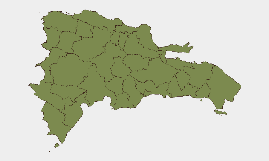
Situation Summary
The Dominican Republic remains under Level 2 ("exercise increased caution") advisory status, with endemic violent crime, gang activity, and narcotics trafficking as structural threats. No major security incidents have surfaced in open-source reporting over the last 24–48 hours; baseline risk remains elevated but stable. Elías Piña province (northwestern border region) continues to drive the national composite risk score significantly, reflecting ongoing transnational trafficking and enforcement activity along the Haiti frontier.
Key Developments
Open-source intelligence monitoring has not identified clearly time-stamped, multi-source-confirmed security or civil-unrest incidents in the Dominican Republic within the last 24–48 hours that meet verification standards for operational briefing. Structured incident feeds, Caribbean news synthesis, and Dominican national outlets show no major reported attacks, protests, kidnappings, or infrastructure failures in this window.
Background context (not current): A cocaine seizure operation in Santo Domingo was reported recently but lacks a precise incident date in accessible sources. Diplomatic tensions with the United States (late July) and statements regarding Brazilian leadership were noted in the event signal stream but do not indicate active security disruption to persons or assets. An investigation notice dated 2026-08-01 was flagged but no operational detail is yet available in open channels.
For tactical situational awareness, security teams should continue to monitor the northwestern border provinces (Elías Piña, Dajabón, Monte Cristi) and the capital region (Santo Domingo) through dedicated incident feeds, as major developments in these zones typically emerge within 4–6 hours of occurrence.
Highest-Risk Areas
Elías Piña province is the dominant risk driver nationally, with a composite score of 31.3—more than 24 times higher than any other tracked region. This remote, mountainous area borders Haiti and serves as a transshipment corridor for narcotics, migrants, and contraband; police and military operations remain frequent but resource-constrained. The remaining 11 tracked provinces show near-uniform baseline risk (1.3 each), reflecting diffuse violent-crime and gang-activity patterns typical of Caribbean urban and semi-urban areas. Santo Domingo and Santiago, while not separately ranked in the sub-national table, typically generate the highest volume of reported incidents nationally and should be treated as persistent secondary-priority zones.
How GeoBit Would Assist
Security teams should deploy AOI (Area-of-Interest) Monitoring & Early Warning with persistent alerting on Elías Piña, Santo Domingo, and Santiago to capture incidents within hours of occurrence and flag escalation patterns. Intel Sweep and multi-language OSINT (Spanish-language police bulletins, provincial emergency-agency feeds, and localized social-media channels) would supplement open-news monitoring and surface minor incidents, crime trends, and enforcement operations not reported nationally. Entity extraction and sentiment analysis on Dominican media and official accounts would provide early signals of political instability, gang territorial shifts, or border-security events before they affect operations.
7-Day Outlook
No acute triggering events are visible in the current signal environment; the risk trajectory remains stable and consistent with the structural baseline. Continued routine trafficking activity, localized gang violence, and law-enforcement operations should be expected, particularly in border and urban zones. Security teams should maintain standard Level 2 protocols and rely on real-time incident feeds for operational adjustments.
Highest-Risk Areas — Ranked
| # | State / Region | Risk |
|---|---|---|
| 1 | Elías Piña | 31.3 |
| 2 | Monte Cristi | 1.3 |
| 3 | Dajabón | 1.3 |
| 4 | Santiago Rodríguez | 1.3 |
| 5 | Valverde | 1.3 |
| 6 | Puerto Plata | 1.3 |
| 7 | Santiago | 1.3 |
| 8 | Espaillat | 1.3 |
| 9 | Hermanas Mirabal | 1.3 |
| 10 | San Juan | 1.3 |
| 11 | Independencia Province | 1.3 |
| 12 | Pedernales | 1.3 |
Sources
Previous Daily Briefs
A new Dominican Republic brief is written every day — each with its own risk map and downloadable CSV. Here's the last week; use the calendar to go further back.
📅 Browse every day by calendar →
Highlighted days have a brief. Tap a day for that day's map & analysis, or “csv” for that day's dataset ($5).
Atlas — our AI intelligence desk — emails them this snapshot personally. Nothing else, no list.