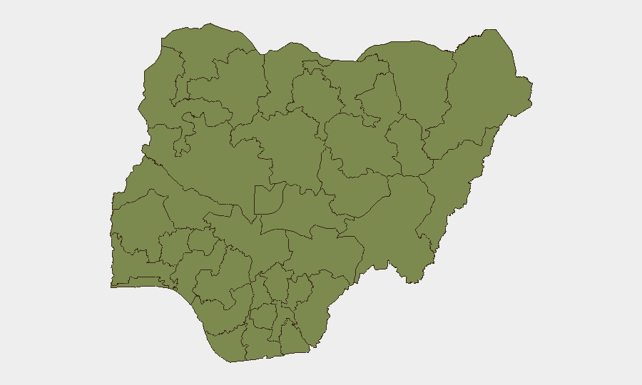
Situation Summary
Nigeria's composite threat score (64/100, rank #36 globally) reflects sustained pressure from organized crime, banditry, insurgent activity, and critical infrastructure vulnerabilities across multiple states. The past 48 hours have seen a notable spike in kidnapping and armed group operations, particularly in the Northwest and along major inter-state corridors, while concurrent building collapses in Lagos and Rivers State underline deficient regulatory oversight. The security environment remains fragmented by region—Lagos dominates incident volume but faces structural/urban risk; northern states face active armed groups—with no imminent de-escalation signals evident.
Key Developments
- Lagos State (Alakija/Old Ojo Road), Thursday 27 June – Three-storey residential building collapsed, killing 8–9 people and injuring multiple others; 10+ survivors rescued. Search and rescue ongoing; incident highlights building-code enforcement gaps in Africa's largest metropolitan area.
- Rivers State (Peter Odili Road, Port Harcourt), Wednesday–Thursday 26–27 June – Four-storey construction building collapsed, one confirmed dead, multiple trapped; rescue teams recovered three injured survivors. Authorities investigating possible building-code violations; construction-site safety a recurring vulnerability.
- Zamfara State (Gummi axis), Thursday–Friday 27–28 June – Social media reports of a bandit convoy exceeding 100 motorcycles terrorizing communities; travellers warned to avoid the area. Indicates organized armed-group mobility and capability in the Northwest.
- Edo State (Benin–Auchi corridor), Thursday 27 June – Police operations rescued 11 kidnap victims from bandit camps; patrols and forest-clearance operations continuing. Sustained kidnapping activity on this major highway corridor; travel risk remains elevated.
- Kwara State, Thursday 27 June – Social media video circulated showing suspected terrorists arrested by security agencies; civil-society actors warned of terror-cell expansion into previously lower-risk areas. Suggests geographic spread of extremist networks beyond traditional strongholds.
- National banking sector, late June 2026 – Nigerian Computer Emergency Response Team (NgCERT) warned of ongoing ATM-compromise attacks involving phishing and lateral movement to ATM infrastructure. Cyber threat to financial operations persists.
- Multi-state kidnapping/banditry spike, Thursday 27 June – Security commentators reported a 24–48-hour surge in kidnapping, banditry, and suspected insurgent attacks across multiple states, with criticism of intelligence-driven response gaps. Inter-state road corridors flagged as highest-risk travel routes.
Highest-Risk Areas
Lagos State (32.5) dominates absolute risk volume due to scale, density, and frequency of reported incidents—both crime and infrastructure failures. Oyo State (28.9) and Kaduna State (22.4) follow, with Kaduna particularly reflective of Northwest banditry and kidnapping. The top tier is driven by organized armed groups (Northwest), urban crime and building collapse (Lagos/Oyo), and construction/regulatory-failure patterns. Northern and central states (Sokoto, Kano, Borno, Kogi) maintain baseline insurgent/bandit activity; rivers and maritime zones (Rivers, Cross River) face construction and armed-robbery risk. Federal Capital Territory (13.5) remains relatively contained.
How GeoBit Would Assist
Real-time AOI Monitoring & Early Warning on Lagos, Kaduna, and Oyo would flag emerging bandit movements, kidnapping hotspots, and building-collapse warnings via satellite and social-media OSINT fusion. Routing & Network Analysis would enable rapid alternative-corridor planning for staff transiting high-risk inter-state roads (Benin–Auchi, Gummi axis). Intel Sweep and multi-language OSINT (Telegram, X, local Hausa/Yoruba sources) would track bandit-group posture, cyber-threat evolution, and regulatory enforcement gaps in near-real time, enabling duty-of-care escalation before incident onset.
7-Day Outlook
The spike in bandit operations and kidnapping in the past 48 hours suggests sustained or escalating activity through early July, particularly along Northwest and central corridors. Building-collapse incidents may prompt temporary regulatory scrutiny but structural deficiencies remain. No political or security-force interventions are signalled to alter the current trajectory in the near term.
Highest-Risk Areas — Ranked
| # | State / Region | Risk |
|---|---|---|
| 1 | Lagos State | 32.5 |
| 2 | Oyo State | 28.9 |
| 3 | Kaduna State | 22.4 |
| 4 | Anambra State | 17.1 |
| 5 | Federal Capital Territory | 13.5 |
| 6 | Sokoto State | 13 |
| 7 | Kano State | 13 |
| 8 | Borno State | 12.7 |
| 9 | Kogi State | 9.8 |
| 10 | Rivers State | 9 |
| 11 | Ogun State | 8.1 |
| 12 | Cross River State | 6.8 |
Sources
Previous Daily Briefs
A new Nigeria brief is written every day — each with its own risk map and downloadable CSV. Here's the last week; use the calendar to go further back.
📅 Browse every day by calendar →
Highlighted days have a brief. Tap a day for that day's map & analysis, or “csv” for that day's dataset ($5).