Situation Summary
Mauritius remains a relatively low-threat jurisdiction globally (ranked #163), with no discrete security incidents recorded in the current reporting window. The overall composite threat score of 4 reflects a stable operating environment. However, sub-national risk concentration in Port Louis (score 92) and secondary urban centres indicates that crime, infrastructure vulnerability, and civil-order risk are spatially clustered rather than dispersed across the island.
Key Developments
- Mauritius Airport (location unspecified), 31 July 2026 — A group of Nigerian nationals (reportedly female minors) were detained at a Mauritius airport; the Nigerian Diaspora Commission (NiDCOM) subsequently confirmed their release and return to Nairobi. No further details on the incident classification, duration of detention, or procedural circumstances are available in current open sources.
- No additional discrete security, civil-unrest, crime, or infrastructure incidents were verified in Mauritius during the 24–48 hour reporting window. Standard travel, maritime, and operational activity continues without reported disruption.
Highest-Risk Areas
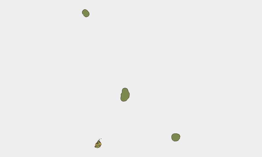
Port Louis carries substantially elevated risk (score 92) and dominates the national risk profile—a typical pattern for capital cities with concentrated population, commercial activity, and informal settlements. The secondary cluster of Plaines Wilhems (68), Black River (65), and Flacq (62) reflects mid-range urban and peri-urban exposure, likely driven by property crime, gang activity, and infrastructure strain. Conversely, outer islands (Rodrigues, Saint Brandon, Agaléga) register minimal risk, indicating that corporate and duty-of-care attention should prioritise Port Louis and the central-western districts for staff welfare, asset security, and incident contingency planning.
How GeoBit Would Assist
Security and risk teams operating in Mauritius should employ AOI Monitoring & Early Warning focused on Port Louis and secondary risk zones to detect shifts in crime patterns, civil unrest, or infrastructure failures in real time. Intel Sweep and multi-language OSINT fusion (including X, Telegram, and local news) would provide corroboration and temporal precision for emerging incidents, reducing reliance on unverified social-media reports such as the airport detention case. Routing & Network Analysis would enable contingency planning for evacuation or asset movement in the event of escalating port-area disruption.
7-Day Outlook
No imminent threat escalation is forecast; the island's security baseline remains stable. However, the unverified airport detention and the absence of independent corroboration underscore the opacity of certain incident categories in Mauritius and highlight the value of persistent monitoring. Teams should maintain standard vigilance in Port Louis and be alert to maritime-boundary incidents or regional spillover from Indian Ocean geopolitics, though no specific warning indicators are present at this time.
Highest-Risk Areas — Ranked
| # | State / Region | Risk |
|---|---|---|
| 1 | Port Louis | 92 |
| 2 | Plaines Wilhems | 68 |
| 3 | Black River | 65 |
| 4 | Flacq | 62 |
| 5 | Grand Port | 58 |
| 6 | Moka | 52 |
| 7 | Savanne | 48 |
| 8 | Pamplemousses | 45 |
| 9 | Rivière du Rempart District | 38 |
| 10 | Rodrigues | 22 |
| 11 | Saint Brandon | 8 |
| 12 | Agaléga | 5 |
Sources
Previous Daily Briefs
A new Mauritius brief is written every day — each with its own risk map and downloadable CSV. Here's the last week; use the calendar to go further back.
📅 Browse every day by calendar →
Highlighted days have a brief. Tap a day for that day's map & analysis, or “csv” for that day's dataset ($5).
Atlas — our AI intelligence desk — emails them this snapshot personally. Nothing else, no list.