Situation Summary
Nigeria remains at composite threat rank #31 globally, with 516 tracked events and a composite score of 63. The security environment is marked by concurrent pressure across multiple vectors: infrastructure failures in major cities (Lagos, Port Harcourt), a documented surge in banditry and kidnapping on inter-state corridors in the northwest and central regions, active counter-terrorism operations, and emerging cyber-crime targeting financial infrastructure. Political debate over security architecture (state police, local control) is ongoing, and government messaging on insecurity levels is contested in public discourse, signalling underlying trust and communication gaps.
Key Developments
- Building collapse, Lagos State (Alakija, Old Ojo Road) – 27 June 2026: Three-storey residential building collapsed; 8–9 confirmed dead, 10+ rescued. Search and rescue operations ongoing; structural-safety failures flagged by authorities as systemic.
- Construction-site collapse, Port Harcourt, Rivers State – 26–27 June 2026: Four-storey building under construction on Peter Odili Road collapsed; at least one dead, multiple workers trapped, three injured recovered. Highlights broader infrastructure and regulatory deficiencies.
- Bandit convoy, Gummi axis, Zamfara State – 27–28 June 2026: Over 100 motorcycles reported moving through communities; intimidation and attacks documented. Travel warnings issued for Gummi and inter-state corridors in the northwest.
- Multi-state kidnapping and banditry spike – 27 June 2026: Documented 24–48 hour surge in kidnappings, banditry, and suspected insurgent activity across northern and central states, concentrated on major inter-state roadways. Security commentators cite gaps in intelligence-driven response and highway security.
- ATM-compromise advisory – late June 2026: Nigerian Computer Emergency Response Team (NgCERT) issued alert on phishing and lateral-movement campaigns targeting ATM infrastructure. Elevated cyber-crime risk to banks and customers; heightened monitoring recommended.
- Arrest of suspected Boko Haram/ISWAP commanders – late June 2026: Seven suspected commanders intercepted and arrested at Umaru Musa Yar'Adua International Airport, Katsina State. Operation framed as counter-terrorism effort targeting insurgent logistics and civilian-infrastructure use.
- State police and local-security debate – late June 2026, national: Senate approval of state police and arguments for local-government operational control of security. Signals political repositioning of security architecture with potential implications for future civil-unrest response.
- Public dispute over insecurity scale – late June 2026, national: Government officials rejecting "under siege" characterization while acknowledging scattered breaches; prominent commentators contesting official messaging. Reflects political tension and public-trust concerns.
Highest-Risk Areas
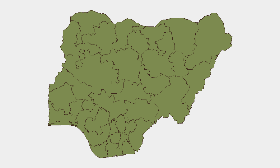
Kaduna and Lagos States are co-ranked as highest-risk sub-nationally (31.8 composite score each), driven by overlapping threats: Kaduna faces persistent banditry, kidnapping on major corridors, and inter-communal tensions; Lagos faces critical infrastructure failures, dense urban crime, and maritime-adjacent smuggling and trafficking. Borno State (27.2) remains elevated due to ongoing Boko Haram and ISWAP activity in the northeast, despite recent counter-terrorism operations. Federal Capital Territory (22.2) reflects political volatility and targeted security incidents. The northwest corridor (Zamfara, Sokoto) shows acute spike activity in banditry and kidnapping, particularly affecting inter-state travel.
How GeoBit Would Assist
Security teams would employ AOI Monitoring & Early Warning to track bandit and insurgent activity on high-risk corridors in real time and alert to convoy movements before they escalate. Routing & Network Analysis would identify safer alternative routes and journey-planning options for personnel and asset movements. Intel Sweep, OSINT fusion, and social-media intelligence (X, Telegram, local platforms) would corroborate emerging threats, distinguish official from rumour-based claims, and track political messaging around security governance—critical for assessing the credibility of government statements and public sentiment.
7-Day Outlook
The banditry and kidnapping surge on inter-state corridors is likely to persist or intensify in the short term, with increased pressure on northern travel and commerce. Infrastructure-failure incidents (building collapses) will likely continue absent rapid regulatory enforcement, compounding reputational and safety risks in Lagos and other major urban centres. Political debate over security architecture may accelerate response measures but could also create near-term friction and gaps in unified command-and-control.
Highest-Risk Areas — Ranked
| # | State / Region | Risk |
|---|---|---|
| 1 | Kaduna State | 31.8 |
| 2 | Lagos State | 31.8 |
| 3 | Borno State | 27.2 |
| 4 | Federal Capital Territory | 22.2 |
| 5 | Anambra State | 20.3 |
| 6 | Sokoto State | 13 |
| 7 | Kogi State | 10.8 |
| 8 | Oyo State | 8.1 |
| 9 | Kano State | 7.7 |
| 10 | Ogun State | 7.5 |
| 11 | Zamfara State | 5.3 |
| 12 | Edo State | 5.2 |
Sources
Previous Daily Briefs
A new Nigeria brief is written every day — each with its own risk map and downloadable CSV. Here's the last week; use the calendar to go further back.
📅 Browse every day by calendar →
Highlighted days have a brief. Tap a day for that day's map & analysis, or “csv” for that day's dataset ($5).