Situation Summary
Nigeria's composite threat score of 65 (rank #29 globally) reflects sustained pressure from armed banditry, kidnapping, inter-agency friction, and localized insurgent activity across the north and center-west. The past 48 hours have seen fresh bandit attacks, a school abduction in Kaduna State, and a serious armed incident between Nigerian Army and police personnel in Benue State, signaling both persistent criminal violence and potential institutional coordination gaps. Counter-terrorism operations continue at scale (199 suspected ISIS-linked militants reported killed in recent operations), but kidnapping and highway banditry remain the dominant threat vectors for corporate and personnel security.
Key Developments
- Birnin Gwari, Kaduna State (29–30 June): Terrorists abducted six school pupils in a rural corridor with established bandit activity, consistent with ongoing kidnapping risk on northern routes and underscoring vulnerability of non-urban populations in Nigeria's highest-risk state.
- Makurdi, Benue State (30 June): Nigerian Army personnel allegedly opened fire on a police patrol led by Operation Zenda commander CSP Lyam Akegh, indicating serious armed friction between federal security forces and raising immediate travel risk for the Benue corridor.
- Kuru, Plateau State (night of 29–30 June): Security operatives foiled an attempted intrusion at the National Institute for Policy and Strategic Studies (NIPSS) around 01:30 local time; suspected intruders fled with no reported casualties or operational disruption.
- Umaru Musa Yar'Adua International Airport, Katsina State (late June, reported within 24–48h): Security agencies arrested seven suspected Boko Haram/ISWAP commanders in a counter-terrorism operation, indicating continued insurgent use of civilian aviation infrastructure and ongoing intelligence-led interdiction.
- Northwest Nigeria, unspecified rural locations (30 June): Fresh bandit attacks reported across northern corridors, consistent with ongoing armed-banditry and convoy-intimidation patterns in Zamfara and Kaduna belts.
- National financial infrastructure (late June): Nigerian Computer Emergency Response Team (NgCERT) issued alert on phishing and lateral-movement campaigns targeting ATM and banking systems, raising financial-crime and cyber-fraud risk for personnel using local financial services.
- Police leadership statement (30 June): Inspector-General of Police publicly urged state governments to strengthen collaboration on security operations, indicating institutional concern over rising crime, insurgency, and civil-unrest pressures across regions.
Highest-Risk Areas
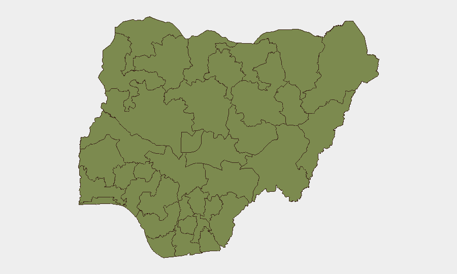
Kaduna State (risk 33) dominates the ranking, driven by active banditry, kidnapping, and ongoing military operations; the Birnin Gwari abduction exemplifies current threat density. Federal Capital Territory (28.1) and Borno State (27.1) follow, reflecting urban security pressures in Abuja and persistent northeast insurgency. Lagos State (25) and Zamfara State (20) round the top five, with Lagos facing urban crime and kidnapping-for-ransom activity, and Zamfara experiencing chronic bandit violence on rural and inter-state routes. Armed friction between security agencies (as evidenced by the Benue incident) may also degrade institutional response capacity across lower-ranked but operationally significant states.
How GeoBit Would Assist
Corporate security teams should employ AOI Monitoring & Early Warning to track Kaduna, Borno, and Zamfara State corridors for real-time bandit and kidnapping activity. Routing & Network Analysis capabilities enable identification of safer alternative routes and journey timing for personnel and asset movement through high-risk states. Conflict & Military mapping combined with Network & Actor Analysis can help track inter-agency friction and map armed-group positions to inform travel and facility-security postures.
7-Day Outlook
Bandit activity and kidnapping risk remain elevated across the northwest and Kaduna corridor through early July; counter-terrorism operations will likely intensify in the northeast, but disruption of civilian movement is expected to remain localized. Inter-agency coordination gaps—evidenced by the Benue police–Army incident—may create unpredictable security responses; personnel should anticipate heightened checkpoint activity and potential road delays.
Highest-Risk Areas — Ranked
| # | State / Region | Risk |
|---|---|---|
| 1 | Kaduna State | 33 |
| 2 | Federal Capital Territory | 28.1 |
| 3 | Borno State | 27.1 |
| 4 | Lagos State | 25 |
| 5 | Zamfara State | 20 |
| 6 | Enugu State | 11.2 |
| 7 | Oyo State | 10.3 |
| 8 | Osun State | 10.1 |
| 9 | Kano State | 8.9 |
| 10 | Rivers State | 7.5 |
| 11 | Sokoto State | 7 |
| 12 | Kwara State | 6.4 |
Sources
Previous Daily Briefs
A new Nigeria brief is written every day — each with its own risk map and downloadable CSV. Here's the last week; use the calendar to go further back.
📅 Browse every day by calendar →
Highlighted days have a brief. Tap a day for that day's map & analysis, or “csv” for that day's dataset ($5).