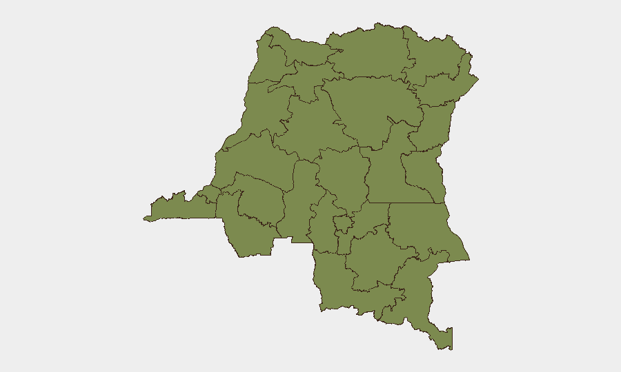
Situation Summary
DR Congo remains a complex, multi-threat environment with a composite threat score of 59 (rank #37 globally) and 354 tracked events. The security picture is heavily concentrated in the eastern provinces, particularly Ituri, which registers a risk score more than five times that of the second-highest region (South Kivu). Recent signals include cross-border tensions with Rwanda, bandit and terrorist abduction activity involving Chad, and ongoing detentions, reflecting fragmented state capacity and persistent non-state armed group presence. The broader trajectory suggests elevated but regionally contained risk, with humanitarian and economic corridors remaining vulnerable.
Key Developments
- 2026-06-27 | Rwanda–DR Congo border (location unspecified): Rejection incident recorded between Rwandan and DR Congolese actors; nature and consequence unclear from signal alone, but suggests border friction or diplomatic/administrative dispute.
- 2026-06-28 | Chad/DR Congo border region: Bandit group carried out abduction/hijacking/hostage operation; indicates cross-border criminal activity or militia activity targeting personnel or assets.
- 2026-06-28 | Chad/DR Congo border region: Terrorist actor carried out abduction/hijacking/hostage operation; suggests militant group capability to conduct transnational seizures, possible targeting of nationals or high-value assets.
- 2026-06-27 | Chad (spillover context): Chadian authorities executed arrest/detention of criminal suspect; may indicate security cooperation or pursuit of actors with DR Congo nexus.
*Note: Event signals indicate activity in or near Chad/DR Congo border zones; precise locations within DR Congo and victim/asset details unavailable. Corporate teams with operations in eastern border areas should treat abduction signals as elevated-risk indicators.*
Highest-Risk Areas
Ituri province dominates the risk profile with a score of 33.7—substantially higher than all other provinces and responsible for the majority of tracked threat events. South Kivu, the second-highest region at 6.2, is distantly followed by nine provinces clustered at 3.7. This risk concentration reflects Ituri's history of armed group presence, intercommunal tensions, and limited state security reach; South Kivu's elevation likely stems from spillover from North Kivu instability and mineral-trade-linked criminality. All other provinces carry materially lower but non-negligible risk. Corporate operations in Ituri require heightened vigilance; South Kivu warrants standard enhanced due diligence; provinces outside the top two may operate under baseline country-risk protocols.
How GeoBit Would Assist
Security and duty-of-care teams would deploy AOI Monitoring & Early Warning on high-risk provinces (Ituri, South Kivu) to receive alerting on abduction, armed-group movement, and border incidents in near-real time. Intel Sweep and X/Telegram OSINT would track bandit and terrorist actor communications, recruitment, and operational claims, enabling faster threat intelligence fusion. Conflict & Military mapping and Network & Actor Analysis would establish links between cross-border abduction cells and broader militant networks, informing travel restrictions and asset-protection planning.
7-Day Outlook
Expect sustained low-level armed group and criminal activity in eastern provinces, with periodic cross-border spillover events involving abduction and detention. Rwanda–DR Congo border tensions may generate diplomatic friction but are unlikely to escalate to large-scale military action. Humanitarian corridors and supply lines into Ituri and South Kivu remain at elevated risk and should be monitored for route volatility.
Highest-Risk Areas — Ranked
| # | State / Region | Risk |
|---|---|---|
| 1 | Ituri | 33.7 |
| 2 | South Kivu | 6.2 |
| 3 | Maniema | 3.7 |
| 4 | Sud-Ubangi | 3.7 |
| 5 | Équateur | 3.7 |
| 6 | Nord-Ubangi | 3.7 |
| 7 | Mongala | 3.7 |
| 8 | Lower Uele | 3.7 |
| 9 | Tshopo | 3.7 |
| 10 | Tshuapa | 3.7 |
| 11 | Upper Uele | 3.7 |
| 12 | North Kivu | 3.7 |
Sources
Previous Daily Briefs
A new DR Congo brief is written every day — each with its own risk map and downloadable CSV. Here's the last week; use the calendar to go further back.
📅 Browse every day by calendar →
Highlighted days have a brief. Tap a day for that day's map & analysis, or “csv” for that day's dataset ($5).