Situation Summary
Mauritius remains a low-threat operating environment with no verified security incidents reported in the past 24–48 hours (15–16 August 2026). The island nation maintains its global ranking of #170 with a composite threat score of 4, reflecting stable political conditions, functional state institutions, and limited active conflict drivers. While petty and street crime persist in urban centers—particularly Port Louis and surrounding districts—the security posture for corporate operations and personnel remains predictable and manageable with standard duty-of-care protocols.
Key Developments
No discrete security, crime, civil unrest, infrastructure, or travel-risk incidents have been verified for Mauritius in the last 24–48 hours.
Background context (outside current 48-hour window): Armed robberies by masked assailants occurred on 11 August 2026 in the northern beach districts of Pereybère and Pointe-aux-Biches, involving firearms and knives; a commercial burglary in Plaine-Verte was investigated on 10 August 2026 with an arrest. These incidents illustrate endemic urban crime patterns but do not represent acute escalation.
Highest-Risk Areas
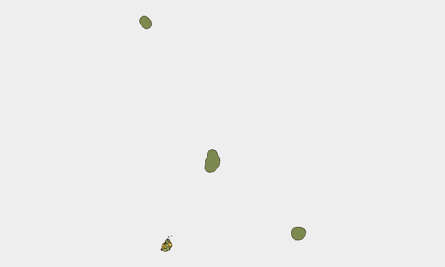
Port Louis (risk score 92) dominates the sub-national threat profile, driven by street crime, gang activity, and port-zone smuggling. Plaines Wilhems (68) and Black River (65) follow as secondary urban/commercial concentrations where theft, robbery, and occasional inter-gang friction occur. The district rankings correlate directly with population density, transient populations, and economic inequality; Rodrigues (22), Saint Brandon (8), and Agaléga (5) present negligible risk due to isolation and minimal human activity. Corporate assets and personnel concentration in Port Louis and its transport corridors should remain the primary geographic focus of risk mitigation.
How GeoBit Would Assist
GeoBit's AOI (area-of-interest) monitoring and alerting capabilities enable persistent watch over Port Louis and key commercial districts, triggering notifications if crime spikes, protest activity, or civil unrest emerges. OSINT fusion (social media, local news, municipal data) and multi-language search provide early signals of labor disputes, port disruptions, or community friction before they escalate. Routing and network analysis support alternative journey planning for personnel in high-risk urban zones, while maritime and aviation tracking assist with supply-chain continuity monitoring across the island's ports and airport.
7-Day Outlook
No material change to the threat environment is anticipated in the next 7 days. Mauritius typically experiences seasonal stability during August; routine street crime and port-zone incidents will likely remain sporadic and localized. Security teams should maintain standard protocols for urban travel and asset protection in Port Louis, with no requirement for heightened alert posture at present.
Highest-Risk Areas — Ranked
| # | State / Region | Risk |
|---|---|---|
| 1 | Port Louis | 92 |
| 2 | Plaines Wilhems | 68 |
| 3 | Black River | 65 |
| 4 | Flacq | 62 |
| 5 | Grand Port | 58 |
| 6 | Moka | 52 |
| 7 | Savanne | 48 |
| 8 | Pamplemousses | 45 |
| 9 | Rivière du Rempart District | 38 |
| 10 | Rodrigues | 22 |
| 11 | Saint Brandon | 8 |
| 12 | Agaléga | 5 |
Sources
Previous Daily Briefs
A new Mauritius brief is written every day — each with its own risk map and downloadable CSV. Here's the last week; use the calendar to go further back.
- August 14, 2026
- August 12, 2026
- August 10, 2026
- August 8, 2026
- August 6, 2026
- August 5, 2026
- August 4, 2026
📅 Browse every day by calendar →
Highlighted days have a brief. Tap a day for that day's map & analysis, or “csv” for that day's dataset ($5).
Atlas — our AI intelligence desk — emails them this snapshot personally. Nothing else, no list.