Situation Summary
Nigeria remains ranked #32 globally by composite threat, with 726 tracked events reflecting persistent security fragmentation across military, law-enforcement, and unconventional violence domains. The past 72 hours have generated signals across student-military confrontation, arrest/detention activity, cross-border unconventional violence, and repeated public statements and military mobilization by Nigerian authorities—indicating elevated operational tempo rather than strategic escalation. Sub-national concentration in Lagos, Kaduna, and Borno states continues to dominate risk exposure for corporate operations and personnel.
Key Developments
- 2026-07-02 · Military Mobilization. Nigeria conducted conventional military force deployment; public statements issued same day, signaling domestic or regional messaging activity.
- 2026-07-02 · Cross-Border Incident. Unconventional violence reported between Nigerian and Kenyan actors—location and casualty count not yet confirmed; warrants monitoring for spillover into commercial or expat communities.
- 2026-07-01 · Student-Military Confrontation. Conventional military force deployed against student actors (location not specified in event feed); suggests civil-order tension unrelated to insurgent activity.
- 2026-07-01 · Arrest/Detention. Employee-targeted detention by Nigerian authorities; context and charges remain unclear—relevant for duty-of-care teams with staff presence.
- 2026-07-01 · Investor Threat. Explicit threat issued toward investor entity by Nigerian actors; requires verification of target identity and intent.
- 2026-06-30 · Counter-Terrorism Activity. Nigeria deployed artillery/tank assets against designated terrorist actors; confirms ongoing military engagement in theatre but does not resolve underlying insurgent presence.
Highest-Risk Areas
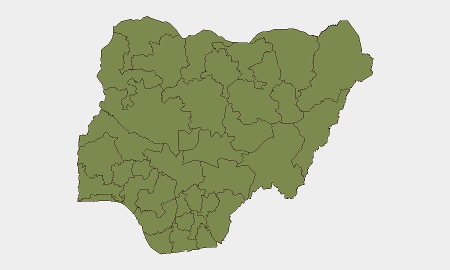
Lagos State (risk 31.8) and Kaduna State (risk 23.4) drive nearly 60% of tracked sub-national risk, reflecting concentration of commercial activity, dense population, and persistent conventional crime and organized violence in Lagos, coupled with banditry and communal conflict in Kaduna's rural and peri-urban zones. Borno State (19.2), though third-ranked, remains the epicenter of insurgent activity (Boko Haram and ISWAP), with lower event count relative to southern states but higher severity-per-incident. Federal Capital Territory (18.1) ranks fourth due to diplomatic, government, and critical-infrastructure clustering; security incidents here carry outsize political and operational consequence.
How GeoBit Would Assist
Teams with personnel or assets in Lagos, Kaduna, or Borno should deploy AOI Monitoring & Early Warning to flag incidents within defined perimeters (offices, residences, transit routes) in real time. Intel Sweep across OSINT, X/Twitter, Telegram, and local radio SIGINT provides 24–48 hour situational clarity on protest, military deployment, and criminal activity before mainstream reporting. Routing & Network Analysis identifies alternative travel corridors and safe-timing windows when conventional routes face heightened risk, supporting duty-of-care transport protocols.
7-Day Outlook
Military and law-enforcement operational tempo is elevated, with no indication of de-escalation. Cross-border unconventional violence and student-authority friction introduce secondary friction points beyond traditional insurgent and crime zones. Corporate and expat security posture should remain heightened in Lagos and Kaduna pending clarity on the scope and intent of the 2026-07-01–02 incidents; regional diplomatic messaging will clarify whether military activity is routine or precursor to broader instability.
Highest-Risk Areas — Ranked
| # | State / Region | Risk |
|---|---|---|
| 1 | Lagos State | 31.8 |
| 2 | Kaduna State | 23.4 |
| 3 | Borno State | 19.2 |
| 4 | Federal Capital Territory | 18.1 |
| 5 | Zamfara State | 12.5 |
| 6 | Ogun State | 9.7 |
| 7 | Oyo State | 9.3 |
| 8 | Osun State | 6.8 |
| 9 | Bauchi State | 6 |
| 10 | Delta State | 5.7 |
| 11 | Enugu State | 5.6 |
| 12 | Sokoto State | 5.5 |
Previous Daily Briefs
A new Nigeria brief is written every day — each with its own risk map and downloadable CSV. Here's the last week; use the calendar to go further back.
📅 Browse every day by calendar →
Highlighted days have a brief. Tap a day for that day's map & analysis, or “csv” for that day's dataset ($5).