Situation Summary
Ghana remains a stable, lower-risk environment globally (rank #112, composite threat 6.0) but faces concentrated volatility in Greater Accra Region, which accounts for the majority of documented security events. Recent weeks have seen friction between state institutions, civil society, and student groups, alongside ongoing illegal mining enforcement operations in rural areas. The security landscape is characterized by political-institutional tensions rather than armed conflict or systemic breakdown.
Key Developments
Data Limitation Notice: Open-source intelligence indexed as of 25 July 2026 does not yet contain clearly time-stamped, verifiable security incidents occurring specifically in the last 24–48 hours (23–25 July). The most recent documented events in the available dataset are from 17–20 July 2026 and include:
- Obuasi, Ashanti Region (17–18 July): Clash between illegal miners and military personnel resulted in multiple fatalities and vehicle destruction.
- Kyebi, Eastern Region (18 July): Security forces confronted youth at a galamsey site; one individual sustained a gunshot wound to the leg.
- Accra–Kumasi Highway, Eastern Region (18 July): Articulated truck crash caused transport disruption.
- Sapeiman Faase, Greater Accra Region (17 July, reported 20 July): Police arrested five suspected armed robbers with recovered weapons.
- Ayomso, Ahafo Region (date unconfirmed): National Security reported interdiction of 300 bags of smuggled cocoa and four arrests.
Recent public statements by government, Ministry of Education, and naval/civil-society actors (dated 23–25 July in event signals) suggest ongoing institutional communication and policy activity but lack detailed incident reporting in accessible open sources. Duty-of-care teams should monitor for clarification on these statements as reporting matures.
Highest-Risk Areas
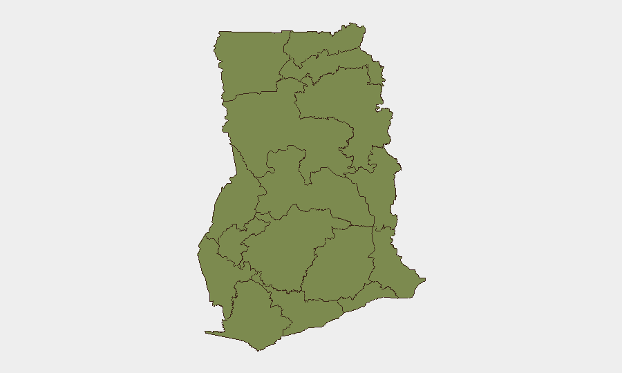
Greater Accra Region dominates Ghana's risk profile, with a composite score of 31.7—more than six times higher than any other region—driven by institutional friction, student activism, commercial crime, and armed robbery. Eastern Region (4.8) and Western Region (3.2) show secondary elevation, primarily linked to illegal mining enforcement, transport vulnerabilities, and resource-sector tensions. All other regions remain below 3.2, indicating that country-level risk is heavily concentrated in the capital and its surroundings, with rural mining areas presenting sector-specific rather than systemic threats.
How GeoBit Would Assist
Corporate teams with personnel or assets in Ghana should deploy AOI Monitoring & Early Warning on Greater Accra Region and key mining districts (Obuasi, Kyebi, Ayomso) to capture protest activity, enforcement operations, and armed crime in near-real time. Intel Sweep, OSINT fusion, and multi-language social-media monitoring (X, Telegram, local news) would provide 24–48-hour lead time on student mobilizations, police operations, and supply-chain disruptions. Routing & Network Analysis can identify safe corridors and alternative logistics paths around Eastern Region transport choke points, while Network & Actor Analysis clarifies government, security-force, and civil-society positions on emerging governance issues.
7-Day Outlook
Institutional and student-sector tensions will likely persist and may generate periodic public statements and localized disruptions in Greater Accra and university towns. Illegal mining enforcement operations are expected to continue in Ashanti, Eastern, and Ahafo regions, with sporadic confrontations between security forces and artisanal miners. Overall national stability remains intact; no indicators suggest imminent escalation to armed conflict or security-service collapse.
Highest-Risk Areas — Ranked
| # | State / Region | Risk |
|---|---|---|
| 1 | Greater Accra Region | 31.7 |
| 2 | Eastern Region | 4.8 |
| 3 | Western Region | 3.2 |
| 4 | Central Region | 3.2 |
| 5 | Volta Region | 2.4 |
| 6 | Ahafo Region | 2.4 |
| 7 | Upper East Region | 1.7 |
| 8 | Upper West Region | 1.7 |
| 9 | Savannah Region | 1.7 |
| 10 | North East Region | 1.7 |
| 11 | Northern Region | 1.7 |
| 12 | Bono East Region | 1.7 |
Sources
Previous Daily Briefs
A new Ghana brief is written every day — each with its own risk map and downloadable CSV. Here's the last week; use the calendar to go further back.
📅 Browse every day by calendar →
Highlighted days have a brief. Tap a day for that day's map & analysis, or “csv” for that day's dataset ($5).
Atlas — our AI intelligence desk — emails them this snapshot personally. Nothing else, no list.