Situation Summary
Burkina Faso remains ranked #15 globally for composite security threat, driven primarily by active insurgency across 14 tracked operational areas. No new kinetic incidents, attacks, or major civil unrest have been independently confirmed in the last 24–48 hours; the current threat environment reflects underlying terrorism and crime activity rather than acute escalation. Curfews, checkpoints, and counter-terrorism operations remain in force across Centre, North, Sahel, and East regions, with the government maintaining administrative control over approximately 74.5% of national territory as of end-June metrics.
Key Developments
- Nationwide curfew and checkpoint regime – ongoing through 31 July 2026: Movement restrictions, identity controls, and security force deployments continue on primary routes near Ouagadougou and secondary cities; no new restrictions or decrees reported in the past 48 hours, but existing measures remain a material constraint on civilian and commercial mobility.
- No new confirmed attacks or armed clashes – 24–48 hour window (30–31 July 2026): Cross-checked open-source monitoring, social media feeds, and news sources report no independently verified kinetic incidents, bombings, or major unrest in the current period; threat remains structural rather than event-driven.
- International travel advisories remain active: Germany, Australia, and other governments continue to issue high-level terrorism, kidnapping, and violent crime warnings for Burkina Faso; these advisories reflect sustained underlying risk but do not correspond to specific new incidents in the last two days.
- Counter-terrorism operations and state capacity building – ongoing: Security force redeployments and administrative consolidation continue in government-controlled territory, consistent with mid-year operational posture; no major repositioning or new campaign announcements reported in the latest 24–48 hours.
Highest-Risk Areas
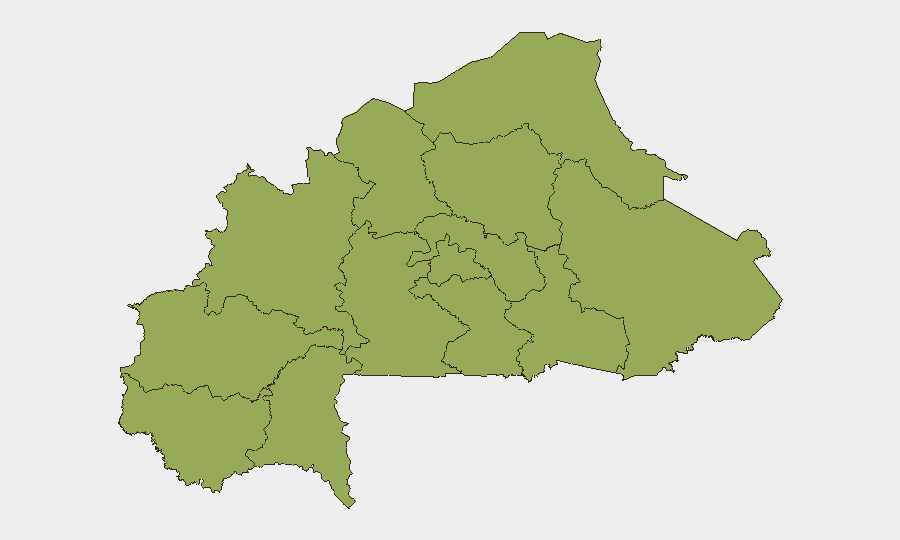
All twelve sub-national regions currently carry identical composite risk scores (55.4), indicating systematic geographic threat distribution rather than concentration in a single hotspot. Upper-Basins, Boucle du Mouhoun, Central-West, Central-South, Central-East, Waterfalls, Southwest, Sahel, Central-North, East, North, and Centre all face comparable levels of insurgent activity, armed crime, and state security operations. The uniformity suggests that organizations with personnel or assets across Burkina Faso should apply equivalent risk-mitigation protocols nationally rather than privilege any single region; however, Centre and North regions remain operationally sensitive due to proximity to Ouagadougou and ongoing counter-terrorism focus.
How GeoBit Would Assist
Security and risk teams should employ AOI Monitoring & Early Warning to maintain persistent watch on logistics routes, facility perimeters, and high-traffic zones in Centre and North regions, with automated alerting on checkpoint changes or security force movements. OSINT fusion and multi-language social-media monitoring (X/Twitter, Telegram, local news feeds) will provide near-real-time detection of emerging incidents, forced displacement, or localized civil unrest that may not immediately appear in international media. Routing & Network Analysis enables planning of alternative movement corridors and journey timing to minimize checkpoint exposure and dwell time in high-risk areas.
7-Day Outlook
No acute escalation is signaled for the next 7 days; the threat environment is expected to remain at current endemic levels—persistent but not sharply deteriorating. Curfews and checkpoint intensity may fluctuate with counter-terrorism operations, but no major operational announcement or policy shift is anticipated. Organizations should maintain standard enhanced-security posture and continue passive monitoring for any sudden increase in armed activity or administrative restrictions.
Highest-Risk Areas — Ranked
| # | State / Region | Risk |
|---|---|---|
| 1 | Upper-Basins | 55.4 |
| 2 | Boucle du Mouhoun | 55.4 |
| 3 | Central-West | 55.4 |
| 4 | Central-South | 55.4 |
| 5 | Central-East | 55.4 |
| 6 | Waterfalls | 55.4 |
| 7 | Southwest | 55.4 |
| 8 | Sahel | 55.4 |
| 9 | Central-North | 55.4 |
| 10 | East | 55.4 |
| 11 | North | 55.4 |
| 12 | Centre | 55.4 |
Sources
Previous Daily Briefs
A new Burkina Faso brief is written every day — each with its own risk map and downloadable CSV. Here's the last week; use the calendar to go further back.
📅 Browse every day by calendar →
Highlighted days have a brief. Tap a day for that day's map & analysis, or “csv” for that day's dataset ($5).
Atlas — our AI intelligence desk — emails them this snapshot personally. Nothing else, no list.