Situation Summary
Cuba is experiencing acute infrastructure and political stress following a nationwide electrical system collapse on 24 July 2026, triggering mass protests across Havana and contributing to water shortages. Large-scale street demonstrations (cacerolazos) have occurred in multiple high-density neighborhoods, met with intensified police and security deployments. The ruling PCC has called an extraordinary plenary amid reports of political instability, while independent media document growing social unrest and state repression. Overall threat ranking remains moderate (global rank #128), but Havana's composite risk score of 32.9 reflects acute near-term volatility.
Key Developments
- Havana (municipios Boyeros, Santiago de las Vegas, Playa), night of 24–25 July 2026 – Large coordinated street protests (cacerolazos) organized via social media and the Asamblea de la Resistencia Cubana in response to blackouts exceeding 30 hours; road blockages, chants for "Libertad," police deployment, and reports of detentions and internet cuts documented across multiple neighborhoods.
- Cuba (national electrical grid), evening of 24 July 2026 – Unión Eléctrica reported total disconnection of the Sistema Electroenergético Nacional, causing widespread blackouts and ongoing investigation of root cause; cascading impacts on traffic safety, communications infrastructure, and essential services across the island.
- Havana (multiple barrios), 24–25 July 2026 – Intensified militarization and police presence observed in capital neighborhoods as state security forces deployed to contain and deter protest activity linked to the energy and water crisis.
- Cuba (political domain), 24–25 July 2026 – PCC announced an extraordinary plenary session amid independent media reports and social-media discussion of potential changes to national leadership; timing coincides with peak social unrest.
- Havana and provincial capitals, 24–25 July 2026 – Internet disruptions and signal cuts reported during protest hours, consistent with state-level communications control measures.
Highest-Risk Areas
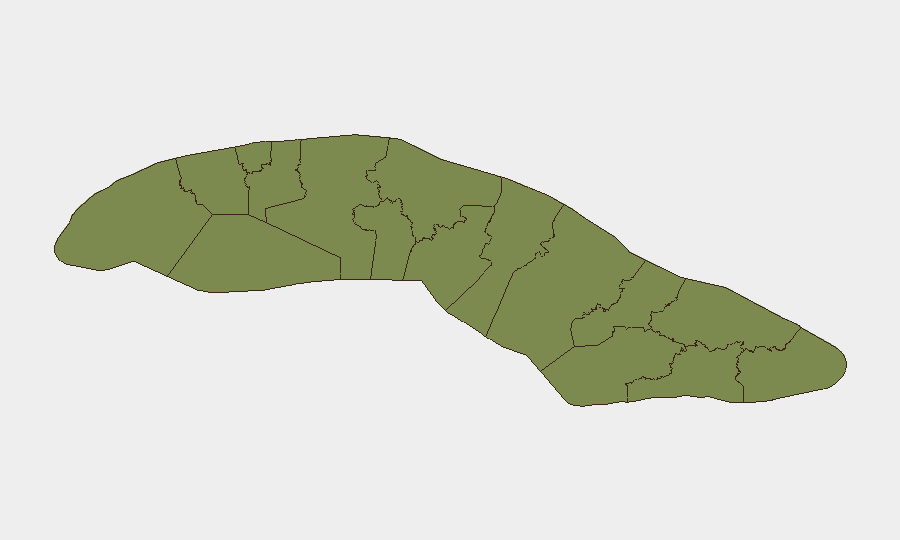
Havana dominates the risk profile at 32.9, reflecting population density, political visibility, and concentration of state security assets; the capital accounted for the majority of documented protest activity, police mobilization, and media coverage in the past 48 hours. Artemisa (12.7) and Santiago de Cuba (11.1) represent secondary risk concentrations, likely tied to provincial economic hardship and potential solidarity protests. Matanzas (8.8) and Camagüey (6.8) carry elevated but lower immediate risk. The electrical outage and water crisis are nationwide stressors, but Havana's role as political and administrative center ensures that state responses and further demonstrations will remain concentrated there in the near term.
How GeoBit Would Assist
Security teams with personnel or assets in Cuba should activate AOI Monitoring & Early Warning for Havana's highest-risk municipios (Boyeros, Playa, Centro Habana) and key provincial capitals to detect protest mobilization, police activity, and curfew enforcement in real time. Intel Sweep, X/Twitter & Telegram OSINT, and multi-language sentiment analysis provide continuous horizon scan of political rhetoric, leadership instability signals, and protest organization across digital networks. GIS & Spatial Analysis and Routing & Network Analysis support contingency planning for staff movement during blackout conditions, road blockages, and potential curfews; satellite and imagery analysis can confirm outage extent and assess infrastructure recovery timelines.
7-Day Outlook
The electrical system outage and water crisis are likely to sustain protest pressure over the coming week, particularly in Havana, despite police deterrence. The PCC plenary outcome and any leadership changes may trigger rapid policy shifts—either toward concessions or intensified repression—creating unpredictable risk for foreign nationals and business operations. International media attention and diplomatic responses are probable; organizations should monitor for travel advisories and contingency activation.
Highest-Risk Areas — Ranked
| # | State / Region | Risk |
|---|---|---|
| 1 | Havana | 32.9 |
| 2 | Artemisa | 12.7 |
| 3 | Santiago de Cuba | 11.1 |
| 4 | Matanzas | 8.8 |
| 5 | Camagüey | 6.8 |
| 6 | Las Tunas | 4.4 |
| 7 | Granma | 4 |
| 8 | Pinar del Rio | 3.7 |
| 9 | Isle of Youth | 3.3 |
| 10 | Mayabeque | 2.9 |
| 11 | Cienfuegos | 2.9 |
| 12 | Villa Clara | 2.9 |
Sources
Previous Daily Briefs
A new Cuba brief is written every day — each with its own risk map and downloadable CSV. Here's the last week; use the calendar to go further back.
📅 Browse every day by calendar →
Highlighted days have a brief. Tap a day for that day's map & analysis, or “csv” for that day's dataset ($5).
Atlas — our AI intelligence desk — emails them this snapshot personally. Nothing else, no list.