Situation Summary
Ireland remains a low-threat environment globally (ranked #114 of ~195 jurisdictions), with a composite threat score of 5 and 66 tracked events year-to-date. However, concentrated risk in County Dublin (31.4) and County Monaghan (22.6) reflects active dissident republican activity and recent law-enforcement operations; the wider state maintains baseline security posture with no significant escalation in the past 24–48 hours. The U.S. State Department Worldwide Caution remains in effect due to global Iran-linked tensions, which may affect travel risk perception and security protocols at U.S.-linked facilities in Ireland, but no direct domestic security incident has materialized in the last two days.
Key Developments
• Nationwide – 26–27 July 2026 – U.S. State Department Worldwide Caution remains in effect
Global threat environment linked to Iran-related tensions continues to advise elevated caution for Americans abroad, including those in or transiting Ireland; may influence travel routing, facility hardening, and duty-of-care protocols for U.S.-associated personnel and assets.
• Nationwide – 25–27 July 2026 – Garda operational vigilance sustained
An Garda Síochána continues to emphasize emergency reporting channels (999/112) and confidential crime-tip infrastructure, indicating sustained heightened posture following recent dissident operations earlier in the week.
*Note: The most significant recent law-enforcement event — interception of a sophisticated car bomb on the N2 south of Carrickmacross, County Monaghan, on 23 July 2026 — falls outside the strict 24–48 hour reporting window but explains current elevated risk scores in Monaghan and ongoing Garda operational tempo.*
Highest-Risk Areas
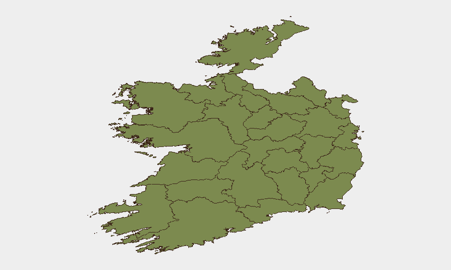
County Dublin's risk score (31.4) reflects concentrated population, critical infrastructure, and historical targeting by dissident elements; it remains the primary security focal point. County Monaghan's elevated score (22.6) is driven by recent confirmed dissident activity, including the 23 July IED interception and associated arrests, positioning the border region as a sustained operational zone for security-sensitive activity. All other counties register significantly lower composite risk (1.4–10.5), with County Clare as the third-ranked area at 10.5, though no recent specific events explain this elevation. Duty-of-care teams should prioritize Dublin and Monaghan for AOI monitoring and personnel briefing.
How GeoBit Would Assist
Intel Sweep and OSINT Fusion would monitor Telegram, X/Twitter, and Irish news feeds for emerging dissident or organized-crime signals in real time, enabling early warning 24–48 hours ahead of operational activity. AOI Monitoring & Early Warning with persistent watch on County Dublin transport nodes, County Monaghan border corridors, and critical infrastructure would alert security teams to unusual activity patterns, vehicle movements, or suspicious gatherings. Routing & Network Analysis would support alternative journey planning for personnel in Dublin and Monaghan, incorporating real-time threat data and Garda operational zones to minimize exposure to high-risk corridors.
7-Day Outlook
No imminent escalation is expected in the immediate 7-day period; however, dissident activity remains episodic and operationally unpredictable. Garda enforcement tempo will likely remain elevated in Dublin and Monaghan, with continued investigation of the 23 July arrests. U.S. travel advisories may persist, keeping security-conscious organizations in heightened posture. Personnel and asset managers should maintain baseline vigilance in Dublin and Monaghan and monitor official Garda and U.S. diplomatic channels for any shifts in threat assessment.
Highest-Risk Areas — Ranked
| # | State / Region | Risk |
|---|---|---|
| 1 | County Dublin | 31.4 |
| 2 | County Monaghan | 22.6 |
| 3 | County Clare | 10.5 |
| 4 | County Mayo | 1.4 |
| 5 | County Sligo | 1.4 |
| 6 | County Galway | 1.4 |
| 7 | County Limerick | 1.4 |
| 8 | County Donegal | 1.4 |
| 9 | County Leitrim | 1.4 |
| 10 | County Roscommon | 1.4 |
| 11 | County Cavan | 1.4 |
| 12 | County Longford | 1.4 |
Sources
Previous Daily Briefs
A new Ireland brief is written every day — each with its own risk map and downloadable CSV. Here's the last week; use the calendar to go further back.
📅 Browse every day by calendar →
Highlighted days have a brief. Tap a day for that day's map & analysis, or “csv” for that day's dataset ($5).
Atlas — our AI intelligence desk — emails them this snapshot personally. Nothing else, no list.