Situation Summary
Nepal faces elevated localized instability following violent communal clashes in Sunsari district (Koshi Province) on July 26–28, with fatalities, injuries, and cascading curfews now affecting multiple market areas and the district headquarters. Concurrent monsoon-driven infrastructure disruption—nine blocked highways, landslides, and elevated road-accident fatalities—compounds mobility and logistics risk nationwide. The security environment remains fragmented by region, with Bagamati and Koshi provinces bearing the highest composite threat scores, while central authorities have mobilized police and Nepal Army assets to contain the Sunsari incident and restore order.
Key Developments
- Sunsari district (Kaptanganj Bazaar, Dewanganj-3), Koshi Province – July 26–27, 2026: Communal clashes between religious communities over ceremonial flags and loudspeakers during a Bolbom pilgrimage escalated to armed confrontation; security forces fired on crowds, killing Om Prakash Mehta (age 24) and injuring over a dozen persons, including police officers. Authorities imposed indefinite prohibitory orders across five market areas, banning gatherings and demonstrations.
- Sunsari district (Inaruwa & East-West Highway corridor), Koshi Province – July 28, 2026: District Administration extended curfew indefinitely from 3:30 pm along the East-West Highway (Pakali Chowk to Koshi Barrage, 200 m either side) and over Inaruwa market, citing deteriorating security and reports of shop/house vandalism and burning. Nepal Army deployed with armored vehicles.
- Inaruwa Municipality, Sunsari, Koshi Province – July 28–29, 2026: Municipal authorities declared two-day local mourning holiday (July 28–29), closing municipal offices, wards, and most schools and health facilities except emergency services, disrupting local administration and service delivery.
- Chitwan district (Mugling Bazaar, Ichchhakamana-5), Bagamati Province – July 28, 2026: Dry landslide blocked the Mugling–Narayangadh highway (key east-west/north-south transit corridor) for at least two hours; monsoon conditions indicate ongoing risk of recurrent blockage.
- Multiple highways, nationwide – July 28–29, 2026: Nepal Police confirm nine major highways blocked by landslides and road erosion due to continuous monsoon rainfall, with significant traffic disruption affecting regional connectivity.
- Nationwide road safety, past 24 hours – July 28–29, 2026: Nepal Police report at least seven fatalities and 105 injuries from road accidents across the country, reflecting elevated risk from monsoon hazards and poor driving conditions.
- Rautahat district (Gaur), Madhesh Province – July 28–29, 2026: Police arrested 21 convicted fugitives in a single-day operation and deployed drone surveillance over Gaur and surrounding areas to monitor criminal activity, indicating heightened security operations in the district.
Highest-Risk Areas
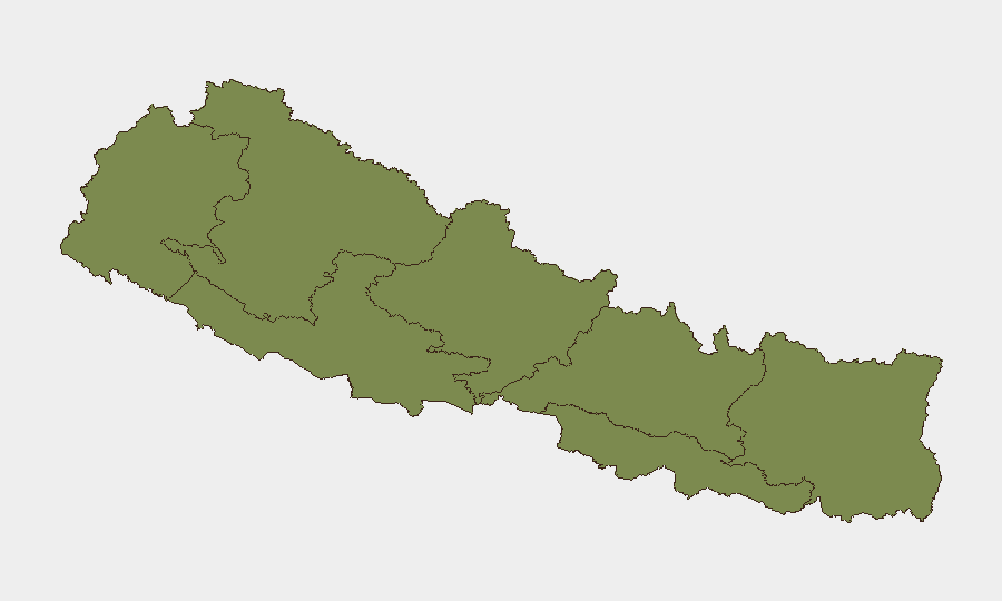
Bagamati Province (composite risk 31.3) and Koshi Province (21.4) drive the national threat picture. Bagamati encompasses the Kathmandu Valley and central economic corridors; current risk reflects ongoing administrative tension and the July 28 Mugling landslide affecting critical transit. Koshi Province is now the acute flashpoint, with communal violence, fatalities, and cascading curfews in Sunsari district creating immediate operational friction. Lumbini Province (12.5) warrants secondary monitoring; Karnali, Gandaki, Madhesh, and Sudurpashchim provinces remain at lower immediate risk but require routine surveillance.
How GeoBit Would Assist
Teams should deploy AOI Monitoring & Early Warning on Sunsari district and the East-West Highway corridor to track curfew compliance, security-force movements, and crowd activity in real time. Multi-language OSINT & Telegram/X monitoring will flag emerging communal rhetoric and coordinated mobilization across affected communities. Routing & Network Analysis and satellite imagery assessment of the Mugling–Narayangadh highway and other monsoon-affected corridors will enable alternative-route planning for personnel and supply movements.
7-Day Outlook
The Sunsari clashes are likely to remain contained by curfew and security-force presence over the next 3–5 days, but the risk of renewed violence during curfew-lifting or at religious/social gatherings remains elevated. Monsoon disruption to road networks will persist, necessitating flexible travel planning and extended transit times. No imminent nationwide escalation is forecast, but localized vigilance in Koshi and Bagamati provinces should remain high through early August.
Highest-Risk Areas — Ranked
| # | State / Region | Risk |
|---|---|---|
| 1 | Bagamati Province | 31.3 |
| 2 | Koshi Province | 21.4 |
| 3 | Lumbini Province | 12.5 |
| 4 | Karnali Province | 3.4 |
| 5 | Gandaki Province | 2.5 |
| 6 | Madhesh Province | 2.5 |
| 7 | Sudurpashchim Province | 1.3 |
Sources
Previous Daily Briefs
A new Nepal brief is written every day — each with its own risk map and downloadable CSV. Here's the last week; use the calendar to go further back.
📅 Browse every day by calendar →
Highlighted days have a brief. Tap a day for that day's map & analysis, or “csv” for that day's dataset ($5).
Atlas — our AI intelligence desk — emails them this snapshot personally. Nothing else, no list.