Situation Summary
Canada's security environment remains stable at global rank #67 (composite threat score 2.2), though localized acute risks persist in Ontario and parts of Western Canada. A targeted gang-related shooting in Toronto on July 13 has elevated near-term violence risk in the Greater Toronto Area, with police warning of potential retaliatory activity. Concurrent wildfire activity across British Columbia, Alberta, Northwest Territories, and Nova Scotia is creating secondary infrastructure and health risks. Overall national trajectory is contained, but Ontario and northern jurisdictions warrant elevated monitoring.
Key Developments
- Toronto, Ontario – July 13, 2026: A targeted shooting at the Salsa on St. Clair street festival left two men dead and multiple people wounded. Police have classified the incident as gang-related and are investigating; the specific identities and affiliation of perpetrators remain under investigation.
- Toronto, Ontario – July 13–14, 2026: Toronto Police Service increased visible patrols and security in the St. Clair West area. Law enforcement has explicitly warned of elevated risk of retaliatory violence tied to the festival shooting.
- Southern Alberta (near Lethbridge) – July 13–14, 2026: New grassfires reported under very dry conditions; provincial wildfire authorities are conducting active firefighting operations with localized rural road disruptions. No mass evacuations ordered to date.
- Cariboo region, British Columbia – July 13–14, 2026: Ongoing wildfire activity continues to degrade air quality and cause minor infrastructure strain (road closures, intermittent power interruptions). Containment operations remain active.
- Northwest Territories (Great Slave Lake communities) – July 13–14, 2026: Persistent smoke from regional wildfires is affecting visibility, air quality, and local travel; health advisories issued for residents.
- Nova Scotia (rural communities) – July 13–14, 2026: Late-season wildfire operations continue. Local residents advised to monitor alerts for potential short-notice evacuation orders and road-access changes.
Highest-Risk Areas
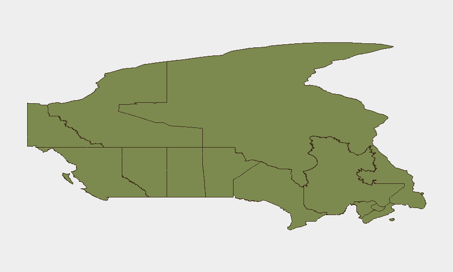
Ontario dominates the sub-national risk profile (score 31.5), driven by the Toronto incident and concentrated urban criminal networks. Nunavut's elevated rank (21.7) reflects its remote geography, limited emergency infrastructure, and climate vulnerability; British Columbia (12.5) reflects wildfire season intensity and terrain complexity. Quebec (7.8) remains moderate. Risk in Ontario is acute and near-term; risk in northern territories is chronic and infrastructure-dependent. Western Canada's wildfire corridor (BC, Alberta, parts of NWT/Yukon) presents secondary but sustained threats to supply chains, air quality, and transient travel.
How GeoBit Would Assist
Security teams should deploy AOI Monitoring & Early Warning on high-risk urban zones in Toronto and Montreal to detect emerging protest activity, gang-linked movements, or secondary violence clusters. Conflict & Crime Search capabilities enable real-time tracking of suspect networks, weapon movement, and retaliatory-violence indicators tied to July 13 shooting. Environmental & Health monitoring paired with Routing & Network Analysis can model wildfire-impact zones, identify alternative supply-chain routes around fire closures, and forecast air-quality degradation affecting field operations or employee safety in affected provinces.
7-Day Outlook
Gang-related retaliatory violence risk in Toronto will likely remain elevated through mid-week before tapering as police presence deters secondary incidents. Wildfire activity across Western Canada and NWT will persist through the forecast period given dry conditions; evacuation risk remains low but infrastructure disruption (power, road access) may intensify. No indication of national-level security escalation; risks remain regional and operationally manageable with localized mitigation.
Highest-Risk Areas — Ranked
| # | State / Region | Risk |
|---|---|---|
| 1 | Ontario | 31.5 |
| 2 | Nunavut | 21.7 |
| 3 | British Columbia | 12.5 |
| 4 | Quebec | 7.8 |
| 5 | Manitoba | 4.6 |
| 6 | Alberta | 4.5 |
| 7 | Newfoundland and Labrador | 4.2 |
| 8 | Saskatchewan | 3.6 |
| 9 | New Brunswick | 1.6 |
| 10 | Nova Scotia | 1.6 |
| 11 | Yukon | 1.5 |
| 12 | Northwest Territories | 1.5 |
Sources
Previous Daily Briefs
A new Canada brief is written every day — each with its own risk map and downloadable CSV. Here's the last week; use the calendar to go further back.
📅 Browse every day by calendar →
Highlighted days have a brief. Tap a day for that day's map & analysis, or “csv” for that day's dataset ($5).
Atlas — our AI intelligence desk — emails them this snapshot personally. Nothing else, no list.