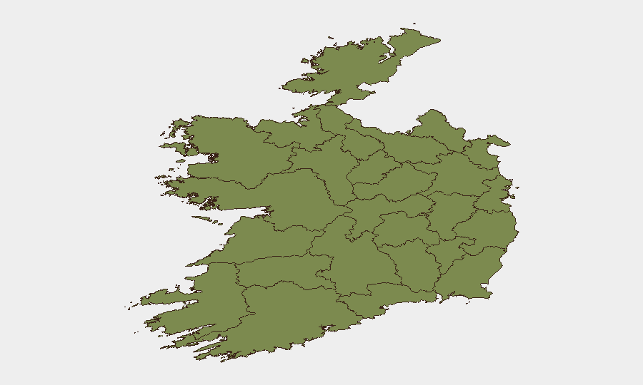
Situation Summary
Ireland remains at composite threat level 47 globally, with security focus concentrated in County Dublin and the border region of County Monaghan. A significant explosive device was interdicted near Carrickmacross on 24 July, indicating active dissident republican operational capability targeting cross-border attack. The incident has prompted elevated law-enforcement and military response, with ongoing arrests and investigation; broader political statements from Ireland, the US, and judicial bodies suggest wider diplomatic or procedural implications.
Key Developments
- Carrickmacross, County Monaghan (24 July): Gardaí conducted an intelligence-led operation and intercepted a sophisticated explosive device in a vehicle near the Northern Ireland border. Two suspects were arrested; Army Explosive Ordnance Disposal made the device safe. The bomb was assessed as attack-ready with significant blast capability.
- N2 corridor south of Carrickmacross (23–24 July): Police stopped a car carrying suspected military-grade explosives in an operation targeting dissident republican activity. Intelligence assessment indicated the device was intended for a cross-border attack into Northern Ireland.
- County Monaghan / border area (24–28 July): Multiple arrests and ongoing detention related to the explosive seizure; District Court and investigative activity continue. European Commission initiated investigation parallel to Irish police proceedings.
- Judicial and diplomatic statements (26–28 July): Ireland issued public statements in response to US and judicial commentary; Police made public statement on 28 July. "Reject" action recorded from Dublin on 28 July, suggesting formal pushback on an unnamed proposal or assertion.
- Military deployment signal (28 July): Conventional military force activity recorded involving Ireland and activist entities, with reciprocal activist force activity noted. Police public statement followed, suggesting possible protest or demonstration response.
Highest-Risk Areas
County Dublin (risk 31.3) and County Monaghan (risk 18.0) dominate the national risk profile. Dublin's elevated composite score reflects high-volume urban crime, financial crime, and protest activity typical of a capital region; Monaghan's acute risk spike is driven by the 24 July explosive device seizure and historical dissident republican activity concentrated near the border corridor. All other counties score below 8.5, indicating that threat is heavily geographically concentrated in the east and northeast, with minimal risk in the western counties (Galway, Mayo, Sligo, Donegal, Leitrim).
How GeoBit Would Assist
Security teams with personnel or assets in Dublin or the Monaghan border corridor should deploy AOI Monitoring & Early Warning on high-risk counties and Intel Sweep with X/Twitter and Telegram OSINT to track dissident republican signaling, law-enforcement operations, and protest mobilization in real time. Routing & Network Analysis enables alternative journey planning to avoid N2 corridor incidents or military/police checkpoints. Conflict & Military force-structure tracking and Entity & Network Analysis help correlate arrested individuals to broader organizational structures and predict follow-on operational tempo.
7-Day Outlook
The 24 July device seizure likely represents a detected phase of an active dissident campaign; arrests and detention will probably yield intelligence leading to further operations through early August. Diplomatic statements and EC investigation suggest international dimensions that may influence Irish security posture. Border monitoring and checkpoint intensity should be expected to remain elevated; Dublin and Monaghan remain primary areas of concern for the next week.
Highest-Risk Areas — Ranked
| # | State / Region | Risk |
|---|---|---|
| 1 | County Dublin | 31.3 |
| 2 | County Monaghan | 18 |
| 3 | County Clare | 8.5 |
| 4 | County Mayo | 1.3 |
| 5 | County Sligo | 1.3 |
| 6 | County Galway | 1.3 |
| 7 | County Limerick | 1.3 |
| 8 | County Donegal | 1.3 |
| 9 | County Leitrim | 1.3 |
| 10 | County Roscommon | 1.3 |
| 11 | County Cavan | 1.3 |
| 12 | County Longford | 1.3 |
Sources
Previous Daily Briefs
A new Ireland brief is written every day — each with its own risk map and downloadable CSV. Here's the last week; use the calendar to go further back.
📅 Browse every day by calendar →
Highlighted days have a brief. Tap a day for that day's map & analysis, or “csv” for that day's dataset ($5).
Atlas — our AI intelligence desk — emails them this snapshot personally. Nothing else, no list.