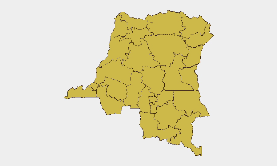
Situation Summary
DR Congo remains the world's 14th-highest-threat environment, driven primarily by active armed conflict across multiple provinces. The conflict landscape is characterized by fragmented non-state armed groups (NSAGs), communal violence, and limited state capacity to project security outside major urban centers. The security environment shows no clear trajectory toward de-escalation in the near term, with territorial control and resource competition remaining primary drivers of violence.
Key Developments
No discrete security events have been reported in DR Congo during the 24–48 hour window covered by this brief. This absence of event reporting does not indicate improved security conditions; rather, it reflects the endemic nature of lower-intensity armed group activity, inter-communal tensions, and localized violence that may not generate immediate international media coverage or formal incident notifications. Duty-of-care teams should assume baseline threat conditions remain active across high-risk provinces and maintain standard protective postures.
Highest-Risk Areas
Twelve provinces share identical composite risk scores (64.8), indicating widespread, distributed threat exposure rather than concentration in a single hotspot. The northern and eastern zones—including North Kivu, Ituri, Maniema, and the Ubangi provinces (Nord-, Sud-, Lower and Upper Uele)—face overlapping drivers: active NSAG presence, limited state authority, porous borders facilitating cross-border militant movement, and communal conflict over land and resources. Équateur, Mongala, Tshuapa, and Tshopo in the northwest present similar risk profiles driven by weaker infrastructure, NSAG activity, and criminal networks. Lualaba in the south, though mineral-rich and more developed than northern zones, remains exposed to criminal violence and sporadic armed group incursions. This uniform ranking suggests that localized risk varies significantly within each province; corporate teams should apply sub-provincial granularity to asset and personnel placements.
How GeoBit Would Assist
Security and risk teams operating in DR Congo should employ persistent AOI (Area-of-Interest) Monitoring & Early Warning over high-risk provinces and supply routes to detect emerging NSAG movement, armed clashes, or communal violence before escalation threatens personnel. Conflict & Military mapping and force-structure analysis provides real-time visibility on NSAG positions, territorial claims, and likely flashpoints. Routing & Network Analysis enables identification of safe transit corridors and early detection of roadblock or bandit activity affecting supply chains and personnel movement. Multi-language OSINT fusion—combining Telegram, local radio SIGINT, and regional media—fills intelligence gaps where formal reporting is delayed or absent, critical in a low-connectivity environment.
7-Day Outlook
No near-term catalyst is evident for significant escalation or de-escalation; baseline conditions of fragmented armed group activity and communal tension are expected to persist. Security teams should anticipate continued sporadic violence in the 12 high-risk provinces and maintain heightened vigilance during any seasonal or political inflection points. Duty-of-care protocols should remain unchanged pending new intelligence indicating concentrated NSAG mobilization or cross-border incursions.
Highest-Risk Areas — Ranked
| # | State / Region | Risk |
|---|---|---|
| 1 | Maniema | 64.8 |
| 2 | Sud-Ubangi | 64.8 |
| 3 | Équateur | 64.8 |
| 4 | Nord-Ubangi | 64.8 |
| 5 | Mongala | 64.8 |
| 6 | Lower Uele | 64.8 |
| 7 | Tshopo | 64.8 |
| 8 | Tshuapa | 64.8 |
| 9 | Upper Uele | 64.8 |
| 10 | Ituri | 64.8 |
| 11 | North Kivu | 64.8 |
| 12 | Lualaba | 64.8 |
Previous Daily Briefs
A new DR Congo brief is written every day — each with its own risk map and downloadable CSV. Here's the last week; use the calendar to go further back.
📅 Browse every day by calendar →
Highlighted days have a brief. Tap a day for that day's map & analysis, or “csv” for that day's dataset ($5).
Atlas — our AI intelligence desk — emails them this snapshot personally. Nothing else, no list.