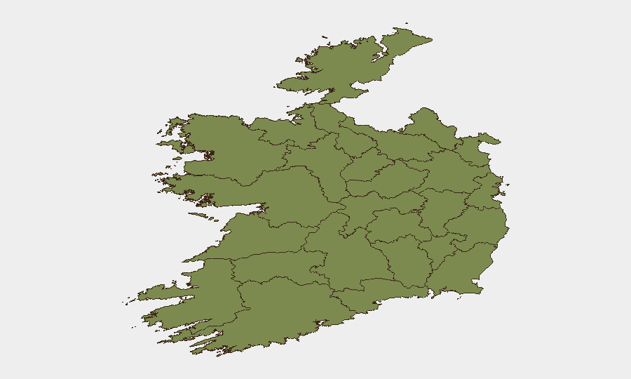
Situation Summary
Ireland faces an elevated but geographically concentrated security environment driven by dissident republican activity, street-level crime, and critical infrastructure awareness ahead of the EU Presidency takeover. The national composite threat score of 24 remains moderate, but Dublin (31.3) and Wexford (18.7) account for the vast majority of tracked risk. Recent incidents—including an intercepted car bomb in Monaghan, arson in Swords, and a homicide investigation in Kerry—reflect both organized security threats and localized criminal activity. The trajectory suggests sustained operational tempo rather than imminent systemic escalation.
Key Developments
- Carrickmacross, Co Monaghan (29–31 July): Gardaí intercepted a suspected car bomb containing Semtex, detonator, and timer on the N2 in an intelligence-led operation targeting dissident republican activity. Two suspects—a man in his 40s and a 25-year-old law student from Clane, Co Kildare—were charged on 31 July and are facing Special Criminal Court proceedings.
- Swords, Co Dublin (31 July): An arson attack damaged properties linked to Ryanair in north County Dublin. Gardaí are investigating criminal damage and arson; the incident underscores vulnerability of commercial infrastructure to organized action.
- Killarney, Co Kerry (30–31 July): The body of Jamey Carney (43) was discovered in her home on Muckross Road in what Gardaí are treating as a suspicious death/murder inquiry. A manhunt is active, with the suspected perpetrator believed to have fled Ireland.
- Cork (31 July): An SUV deliberately rammed Garda patrol vehicles, injuring at least one officer. The driver was detained; investigations into dangerous driving and assault on police are ongoing.
- Dublin north inner city (late July): Gardaí arrested four suspected street drug dealers, seized drugs, and confiscated e-scooters used in distribution. The operation reflects sustained enforcement against street-level crime and associated public-safety risks in central Dublin.
- Cork and Kerry road incidents (30–31 July): A motorcyclist (40s) died in a fatal collision in Cork; a boy died after being struck by a car in Co Mayo. Both incidents required emergency response and road closures, indicating ongoing transport-safety vulnerabilities.
- National security posture (late July): Gardaí and state authorities have publicly emphasized enhanced security measures across Ireland, particularly Dublin, ahead of EU Presidency, including monitoring for drone attacks, undersea cable sabotage, and critical infrastructure threats. French police drone expertise has been deployed to Cork for Presidency-related meetings.
Highest-Risk Areas
Dublin dominates the risk landscape (31.3), reflecting concentration of political targets, critical infrastructure, commercial hubs, and dissident republican interest. Wexford's elevated score (18.7) requires clarification but suggests either recent event clustering or infrastructure vulnerability. All remaining counties cluster below 2.3, indicating risk is sharply concentrated geographically rather than distributed nationally. Security operations should prioritize Dublin and the greater east coast corridor; routine duty-of-care in provincial areas remains standard.
How GeoBit Would Assist
Teams should deploy AOI Monitoring & Early Warning on Dublin, Wexford, and the Monaghan/Kildare border to detect dissident republican activity signals in advance of attacks. OSINT fusion (X/Twitter, Telegram, radio SIGINT) and Actor & Network Analysis will identify emerging cells and radicalization clusters. Routing & Network Analysis can identify safer travel corridors and alternate routes for personnel and assets, particularly around Dublin and the N2/M1 corridor.
7-Day Outlook
Dissident republican threat activity will likely remain localized and episodic; successful bomb interception suggests effective intelligence coverage. Street-level crime and road incidents will persist independently of organized threats. EU Presidency preparations will maintain elevated security posture through August, creating temporary constraints on movement and infrastructure access in Dublin.
Highest-Risk Areas — Ranked
| # | State / Region | Risk |
|---|---|---|
| 1 | County Dublin | 31.3 |
| 2 | County Wexford | 18.7 |
| 3 | County Louth | 2.3 |
| 4 | County Cork | 2.3 |
| 5 | County Mayo | 1.3 |
| 6 | County Sligo | 1.3 |
| 7 | County Galway | 1.3 |
| 8 | County Clare | 1.3 |
| 9 | County Limerick | 1.3 |
| 10 | County Donegal | 1.3 |
| 11 | County Leitrim | 1.3 |
| 12 | County Roscommon | 1.3 |
Sources
Previous Daily Briefs
A new Ireland brief is written every day — each with its own risk map and downloadable CSV. Here's the last week; use the calendar to go further back.
📅 Browse every day by calendar →
Highlighted days have a brief. Tap a day for that day's map & analysis, or “csv” for that day's dataset ($5).
Atlas — our AI intelligence desk — emails them this snapshot personally. Nothing else, no list.