Situation Summary
The United States maintains a composite threat score of 20 (rank #86 globally), reflecting ongoing but contained security risk across fragmented regional hotspots rather than systemic national crisis. The past 24–48 hours have surfaced three distinct threat vectors: critical infrastructure strain (power grid), public health concern (Ebola screening, food contamination), and emerging civil unrest risk drivers (partisan mobilization ahead of midterm elections). New York, Kansas, and California remain the highest-risk sub-national zones; risk trajectory is stable but elevated in specific sectors and geographies.
Key Developments
- Regional power grid strain and rolling blackout risk (MISO region covering 14 central states, evening July 20): Grid operator issued warning of imminent rolling blackouts due to record demand and electricity shortfall. Affects transportation, communications, and public safety across the Midwest and central U.S.
- Mass drowning incident, Ohio River near Louisville, Kentucky (July 20): Five fatalities confirmed after failed rescue attempt; recovery operations ongoing. River access and nearby travel may be disrupted; emergency response activity elevated.
- Enhanced U.S. public health screening at international airports (ongoing, last 48 hours): CDC and DHS applying heightened Ebola screening for travelers from DRC, Uganda, and South Sudan. Expect increased delays and secondary inspections at designated ports of entry.
- Cyclosporiasis outbreak traceback update (multi-state, July 20 FDA update): Investigation identifies Taylor Farms lettuce from Central Mexico as likely source across five states. Food-safety risk may trigger recalls and affect restaurant/retail supply chains in affected regions.
- Executive order tightening defense supply-chain controls (Washington, D.C., July 20): President Trump restricted waivers for defense contractors to source critical minerals from China and prohibited suppliers. Medium-term impact on U.S. defense industrial base and procurement schedules.
- Worldwide Caution restatement on Iran-linked targeting (State Dept, last 48 hours): U.S. diplomatic facilities and commercial sites associated with Americans remain at elevated risk from groups supportive of Iran. Visible security posture and law-enforcement presence around certain facilities likely to increase.
- Civil-rights lawsuit filed over childcare funding restrictions (Washington, D.C., July 20): Advocacy groups challenging Trump administration policy. May trigger localized protests and courthouse-area demonstrations in coming days.
- Campaign fund accumulation ($400M+ for MAGA Inc, July 20 update): Significant partisan resources mobilized ahead of midterm elections. Historical correlation with increased rally activity, counter-protests, and localized civil unrest across multiple states.
Highest-Risk Areas
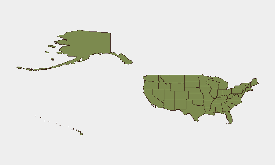
New York (32.9), Kansas (31.4), and California (30.4) drive the highest composite risk scores, with Texas (30.1) and Florida (18) following. The clustering of risk in New York and California reflects dense urban populations, transportation hubs, and political activism; Kansas's ranking warrants detailed investigation into specific threat drivers (crime, civil unrest, or infrastructure events). The Midwest and central states face acute near-term infrastructure risk due to grid strain, while Pennsylvania, Colorado, and Minnesota maintain elevated but secondary concern levels.
How GeoBit Would Assist
Security teams should employ AOI Monitoring & Early Warning on highest-risk metros (New York City, Los Angeles, Kansas City) to track emerging protests, demonstrations, or civil unrest in real time. Intel Sweep and X/Twitter OSINT capabilities would provide 24–48-hour lead time on partisan mobilization events, rallies, and counter-protest activity. Network & Actor Analysis linked to civil-rights litigation should flag advocacy-group coordination and protest timelines to enable advance route planning and asset repositioning.
7-Day Outlook
Power grid stabilization over the next 48–72 hours will reduce immediate infrastructure risk in the MISO region, though demand pressure may recur. Partisan campaigning intensity is expected to rise markedly in July–August, correlating with increased protest activity in urban and college-town areas. Food-safety investigations and Ebola screening will persist but remain manageable as routine public-health measures; no escalation anticipated absent new outbreak signals.
Highest-Risk Areas — Ranked
| # | State / Region | Risk |
|---|---|---|
| 1 | New York | 32.9 |
| 2 | Kansas | 31.4 |
| 3 | California | 30.4 |
| 4 | Texas | 30.1 |
| 5 | Florida | 18 |
| 6 | Pennsylvania | 16.8 |
| 7 | Colorado | 14 |
| 8 | Minnesota | 13.9 |
| 9 | Michigan | 12.9 |
| 10 | Illinois | 12.8 |
| 11 | Ohio | 12.8 |
| 12 | Arkansas | 12.3 |
Sources
Previous Daily Briefs
A new United States brief is written every day — each with its own risk map and downloadable CSV. Here's the last week; use the calendar to go further back.
📅 Browse every day by calendar →
Highlighted days have a brief. Tap a day for that day's map & analysis, or “csv” for that day's dataset ($5).
Atlas — our AI intelligence desk — emails them this snapshot personally. Nothing else, no list.