Situation Summary
Mali remains at composite threat rank #26 globally, with insurgency as the primary driver of risk. The security environment continues to be volatile and fragmented, with separatist and military actors maintaining active operational postures. No reliably confirmed new security incidents have been reported in the last 24–48 hours (19–22 July 2026); however, the underlying threat landscape—characterized by distributed armed-group activity, civil-military tensions, and governance instability—remains structurally elevated.
Key Developments
- No confirmed new incidents (24–48h window, 19–22 July 2026): Open-source monitoring, news wires, and social-media analysis have not identified independently verified security attacks, civil unrest, or infrastructure damage with reliable datelines in the immediate preceding period. The event signal list reflects activity dated 19–21 July (disapproval statements, administrative sanctions, strike/boycott notices), but these do not constitute fresh armed or violent incidents.
- Background context — 18 July 2026 (outside 48h window): A coordinated ambush near Anefis/Tabankort in Gao region resulted in significant casualties and was attributed to separatist or insurgent actors. This event is now 4+ days old and does not constitute a current development but underscores persistent armed-group capability in the northeastern tier.
- Civilian-military friction: Recent event signals (20–21 July) include property seizure/damage involving Malian civilians and military actors, plus administrative sanctions by government bodies, indicating ongoing tensions over governance and resource control rather than acute kinetic escalation.
- Military force deployment: A conventional military-force signal dated 22 July suggests ongoing state operational activity, likely related to counter-insurgency or area control, but specific locations or tactical details are not confirmed in available reporting.
Highest-Risk Areas
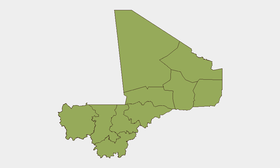
Bamako (76.3) remains the single highest-risk location, driven by governance tensions, protest activity, and the capital's role as a political flashpoint. The northern tier—Kidal (58.6), Timbuktu (54.5), and Ménaka (46.3)—continues to host the most active armed-group cells and experiences the highest frequency of separatist and insurgent operations. Ségou Region (48.4) and secondary nodes including Gao, Kayes, and Koulikoro all register elevated but below-critical risk, reflecting distributed but lower-intensity threat activity. The north-central belt (Timbuktu, Kidal, Gao) should be prioritized for travel restrictions and asset-protection planning.
How GeoBit Would Assist
Security teams should employ AOI Monitoring & Early Warning on Bamako and the Gao/Kidal corridor to receive real-time alerts if new armed activity, protest mobilization, or military operations are detected. Intel Sweep capabilities—combining global event feeds, OSINT fusion, multi-language search, and social-media/Telegram monitoring—provide continuous threat-signal intake and corroboration, critical given Mali's fragmented reporting ecosystem. Battle Mapping and Force Structure analysis enable tracking of separatist and military deployments, while Routing & Network Analysis supports duty-of-care teams in identifying safer transit corridors and alternative supply-chain pathways around high-risk zones.
7-Day Outlook
No imminent escalation is signaled in the immediate 7-day window based on current event frequency and geographic distribution. However, the structural volatility of the northern regions and ongoing civil-military friction in the capital suggest that localized incidents—ambushes, checkpoints, administrative crackdowns—remain probable. Personnel and asset teams should maintain heightened awareness protocols, especially in Kidal, Timbuktu, and Bamako proper.
Highest-Risk Areas — Ranked
| # | State / Region | Risk |
|---|---|---|
| 1 | Bamako | 76.3 |
| 2 | Kidal | 58.6 |
| 3 | Timbuktu | 54.5 |
| 4 | Ségou Region | 48.4 |
| 5 | Ménaka | 46.3 |
| 6 | Kayes | 46.3 |
| 7 | Taoudénit Region | 46.3 |
| 8 | Gao | 46.3 |
| 9 | Koulikoro | 46.3 |
| 10 | Sikasso Region | 46.3 |
| 11 | Mopti | 46.3 |
Sources
Previous Daily Briefs
A new Mali brief is written every day — each with its own risk map and downloadable CSV. Here's the last week; use the calendar to go further back.
📅 Browse every day by calendar →
Highlighted days have a brief. Tap a day for that day's map & analysis, or “csv” for that day's dataset ($5).
Atlas — our AI intelligence desk — emails them this snapshot personally. Nothing else, no list.