Situation Summary
Canada maintains a composite threat score of 2, ranking 67th globally, with 981 tracked security events. Recent activity signals concentrate in Ontario (risk 31.4) and British Columbia (risk 15.2), driven by a combination of natural-hazard incidents, law-enforcement activity, and cross-border tensions with the United States. The security environment remains fragmented across sub-national jurisdictions, with wildfire, transportation safety, and civil-order events dominating the 24–48-hour event stream. Near-term trajectory indicates persistent operational risk in high-population corridors, particularly in Ontario and southwestern British Columbia.
Key Developments
- Boston Bar, British Columbia — July 2026: Wildfires in the Fraser Canyon destroyed structures at Blue Lake Resort, including cabins and trailers; evacuations were ordered in the surrounding area, affecting tourism and transportation corridors.
- Montreal, Quebec — July 2026: CN Rail service resumed following a derailment near Montreal; the Transportation Safety Board investigation is ongoing, with no dangerous-goods release reported. Service disruptions may continue pending cause determination.
- Alberta — July 2026: RCMP responded to a tornado touchdown at a campground, resulting in three injuries and property damage. Severe-weather risk remains elevated across prairie provinces.
- Quebec — July 2026: Provincial authorities announced new regulatory measures targeting inexperienced heavy-vehicle operators following a series of collision incidents involving large trucks. Implementation timeline and enforcement mechanisms remain under development.
- Police–US Border Activity — July 28, 2026: GEOBIT event signals indicate police statements and small-arms incidents involving cross-border actors; full contextual detail is pending corroboration from official statements.
- Political/Diplomatic Tension — July 27–28, 2026: Public statements from Victoria (British Columbia) and Canada regarding military posture, coupled with Israel–Canada diplomatic signals and disapproval of Mark Carney, suggest heightened civil and diplomatic friction. Specific operational impact assessment requires confirmation.
Highest-Risk Areas
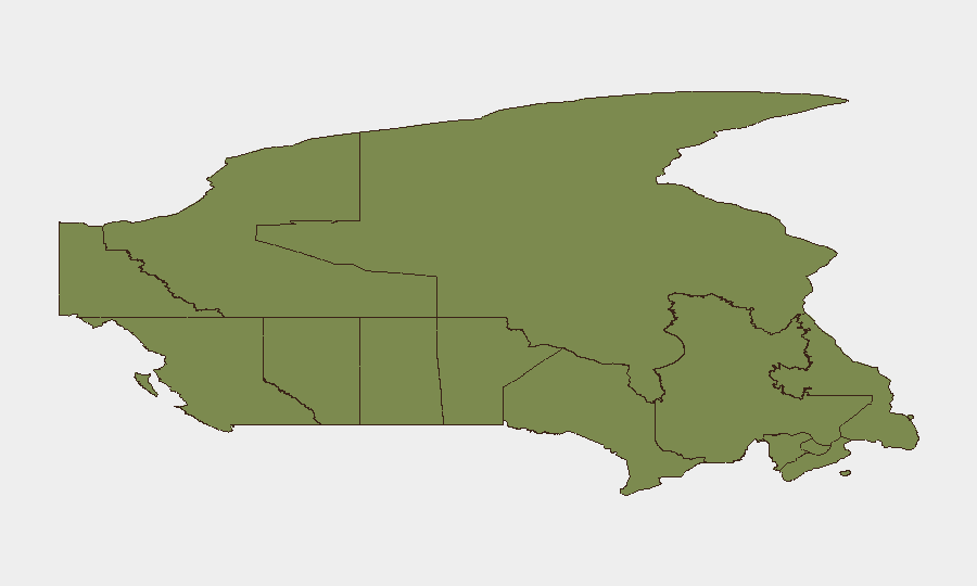
Ontario's risk score (31.4) substantially exceeds all other provinces and likely reflects concentration of national population, critical infrastructure, and cross-border exposure to US activity. British Columbia's secondary ranking (15.2) correlates with ongoing wildfire exposure, complex terrain, and international maritime boundaries. Quebec (8.0) reflects transportation-network incidents and regulatory responses. Together, these three jurisdictions account for the majority of tracked events and warrant prioritized monitoring by duty-of-care teams managing personnel or assets in those regions.
How GeoBit Would Assist
Security and risk teams operating in Canada would benefit from AOI Monitoring & Early Warning on Ontario, British Columbia, and Quebec to track emerging civil-order, environmental, and cross-border developments in real time. OSINT fusion of police statements, military communications, and diplomatic signaling via X/Twitter and news feeds would clarify the nature and scope of July 27–28 tensions. Routing & Network Analysis is operationally relevant for teams managing supply-chain or personnel movement through Montreal and Fraser Canyon corridors affected by derailment and wildfire.
7-Day Outlook
Wildfire season will likely sustain evacuation risk and infrastructure disruption in British Columbia through August. Cross-border law-enforcement and military signaling warrants close monitoring; escalation probability remains contingent on clarification of the July 28 events. Heavy-vehicle and transportation-safety incidents are expected to remain elevated pending Quebec regulatory enforcement.
Highest-Risk Areas — Ranked
| # | State / Region | Risk |
|---|---|---|
| 1 | Ontario | 31.4 |
| 2 | British Columbia | 15.2 |
| 3 | Quebec | 8 |
| 4 | Yukon | 6.2 |
| 5 | Saskatchewan | 4.8 |
| 6 | Northwest Territories | 4.2 |
| 7 | Alberta | 3.6 |
| 8 | Newfoundland and Labrador | 2.5 |
| 9 | Manitoba | 2.4 |
| 10 | New Brunswick | 1.5 |
| 11 | Nova Scotia | 1.5 |
| 12 | Nunavut | 1.4 |
Sources
Previous Daily Briefs
A new Canada brief is written every day — each with its own risk map and downloadable CSV. Here's the last week; use the calendar to go further back.
📅 Browse every day by calendar →
Highlighted days have a brief. Tap a day for that day's map & analysis, or “csv” for that day's dataset ($5).
Atlas — our AI intelligence desk — emails them this snapshot personally. Nothing else, no list.