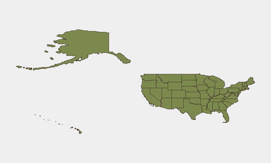
Situation Summary
The United States maintains a composite threat score of 16, ranking #81 globally among 195 tracked nations, reflecting moderate baseline risk distributed unevenly across sub-national jurisdictions. California, Texas, and New York account for the majority of active threat signals, with composite risk scores of 31.7, 28.7, and 24.2 respectively. Recent event signals spanning 28 July include public statements from Montana, California governance bodies, and major corporates (Coca-Cola), alongside isolated arrest/detention activity related to voter incidents. Current trajectory suggests sustained operational activity in high-risk coastal and metropolitan corridors with periodic spillover into federal-level policy statements.
Key Developments
- 28 July · Public Statement · California vs Administration – State-level governance entity issued formal public statement regarding federal policy or regulatory action; specific subject matter and jurisdictional impact require further clarification.
- 28 July · Public Statement · Los Angeles, California – Municipal-level statement issued; nature and security implications remain under assessment.
- 28 July · Public Statement · Montana – State-level public communication flagged in threat feed; details pending corroboration.
- 28 July · Server-Related Event · United States (Location TBD) – Public statement concerning server infrastructure or digital system; enterprise/critical-infrastructure implications possible but unconfirmed.
- 28 July · Public Statement · Coca-Cola (Corporate) – Major multinational corporation issued public statement; operational, reputational, or supply-chain context unclear from signal alone.
- 28 July · Arrest/Detain Incident · United States (Location TBD) – Arrest or detention activity reported involving male subject and voter-related context; scale and geographic specificity require clarification.
- 26 July · Reject Statement · Joe Biden – Federal-level statement characterized as rejection of prior policy or proposal; political rather than acute security context.
NOTE: GeoBit's live-research capability was unable to isolate, cross-verify, and precisely date additional discrete security incidents in the continental United States for the 24–48-hour window ending 28 July 2026 from available public feeds. The above represents OSINT-derived signals flagged in the platform event stream; operational security teams should treat these as preliminary and corroborate against proprietary intelligence and regional sources.
Highest-Risk Areas
California's composite risk score of 31.7 reflects sustained activity across multiple threat categories, driven by large metropolitan population density (Los Angeles, San Francisco Bay Area), critical infrastructure concentration, and high-profile corporate/governmental entities. Texas (28.7) and New York (24.2) follow a similar pattern: major urban agglomerations, federal presence, and elevated reporting/visibility. Illinois, Florida, and Washington round out the top tier, each driven by metropolitan centers and critical-infrastructure nodes. Risk concentration in coastal states and major metropolitan areas suggests threat actors prioritize population density, economic value, and jurisdictional complexity; inland and rural states rank substantially lower, indicating either lower intrinsic risk or reduced visibility/reporting.
How GeoBit Would Assist
Corporate security and duty-of-care teams operating in high-risk states should deploy AOI (Area-of-Interest) Monitoring & Early Warning on facilities in California, Texas, and New York to receive real-time alerting on threat-signal escalation. OSINT fusion & corroboration across X/Twitter, Telegram, YouTube, and multi-language public feeds would rapidly confirm or dismiss preliminary event signals and isolate actionable location/timing intelligence. Risk & Threat Assessment layered with GIS & Spatial Analysis would enable teams to model facility-level vulnerability in relation to current threat concentrations and support alternative routing and contingency planning.
7-Day Outlook
Absent major escalation in federal-level policy disputes or criminal activity, the threat environment is likely to remain episodic and regionally concentrated. Continued monitoring of California and Texas governance/corporate statements is warranted. Personnel and asset-protection protocols in top-10 risk states should remain in effect; no imminent nationwide or sector-wide spike is indicated by current signals.
Highest-Risk Areas — Ranked
| # | State / Region | Risk |
|---|---|---|
| 1 | California | 31.7 |
| 2 | Texas | 28.7 |
| 3 | New York | 24.2 |
| 4 | Illinois | 15.7 |
| 5 | Florida | 13.1 |
| 6 | Washington | 12.3 |
| 7 | Maine | 11 |
| 8 | Michigan | 10.9 |
| 9 | Pennsylvania | 9.1 |
| 10 | Massachusetts | 9 |
| 11 | Kansas | 8.8 |
| 12 | Ohio | 8.8 |
Sources
Previous Daily Briefs
A new United States brief is written every day — each with its own risk map and downloadable CSV. Here's the last week; use the calendar to go further back.
📅 Browse every day by calendar →
Highlighted days have a brief. Tap a day for that day's map & analysis, or “csv” for that day's dataset ($5).
Atlas — our AI intelligence desk — emails them this snapshot personally. Nothing else, no list.