Situation Summary
Canada's composite threat score remains low globally (rank #131, score 6.0), but recent 48-hour incidents across Ontario, Quebec, and British Columbia have elevated near-term security attention, particularly in urban centers and critical infrastructure corridors. Ontario dominates the sub-national risk profile (31.4), driven by a shooting incident near the U.S. Consulate in Toronto on July 27 and ongoing law-enforcement response. Concurrent incidents in Montreal (fatal police shooting, July 27), BC wildfires near Boston Bar and 70 Mile House (July 28), and maritime/rail infrastructure disruptions signal a diversified threat landscape spanning armed violence, natural disaster displacement, and operational safety breaches.
Key Developments
- Toronto, Ontario (July 27): Vehicle fired on or near U.S. Consulate; police pursuit terminated after speeds exceeded 140 km/h. Toronto police flagged ongoing city-level security concerns tied to the incident and aftermath.[2][9]
- Montreal, Quebec—Côte-des-Neiges (July 27): Gunman in military-style clothing killed one police officer and one civilian before dying in shooting; authorities treating as major urban incident under active investigation.[10][6]
- Boston Bar / Fraser Canyon, British Columbia (July 28): Wildfires destroyed resort cabins and trailers; fire continues to grow, creating travel and safety risks in corridor.[1]
- 70 Mile House, British Columbia (July 28): Residents ordered to prepare for evacuation due to Pear Lake wildfire; elevated displacement and transport disruption risk.[12]
- Vancouver, British Columbia (July 28): Local authorities and analysts raised concerns over foreign interference activity; heightened intelligence focus on external influence operations.[12]
- Richmond, British Columbia (July 28): Transport Canada detained vessel operated by B.C. fishing charter following recent sinking (one dead, six missing); safety violation citations highlight maritime regulatory enforcement gaps.[8]
- Weyburn area, Saskatchewan (July 28): Crop-sprayer aircraft struck power lines and caught fire, injuring pilot; localized power and transport disruption risk.[5]
- Suburban Montreal area (July 28): CN Rail resumed service after train derailment near residential zone; infrastructure and community risk underscored.[8]
Highest-Risk Areas
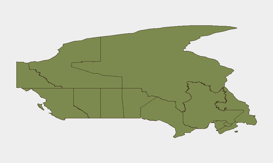
Ontario's risk score (31.4) reflects the concentration of armed-violence incidents in and around Toronto, a major commercial and diplomatic hub. British Columbia (9.8) is driven by active large-scale wildfires creating evacuation and supply-chain disruption, plus foreign-interference intelligence signals in Vancouver. Quebec (7.8) shows elevated urban-violence risk following the Côte-des-Neiges shooting and ongoing Montreal-area rail incidents. Together, these three provinces account for the vast majority of tracked events and composite risk; remaining provinces score below 5.0.
How GeoBit Would Assist
Security teams monitoring Canada would deploy AOI Monitoring & Early Warning on Toronto (consulate/downtown), Montreal (urban centers), and BC transportation corridors to detect escalation signals in real time. Intel Sweep and OSINT fusion (X/Twitter, Telegram, multi-language sources, sentiment analysis) would track emerging threats, foreign-interference narratives, and extremist rhetoric tied to recent armed incidents. Routing & Network Analysis and GIS & Spatial Analysis would identify alternative supply and personnel routes around active wildfire zones and rail disruptions, while Maritime & Aviation tracking would flag ongoing safety violations in regional waters and airspace.
7-Day Outlook
Armed-violence risk in Ontario and Quebec is likely to remain elevated as investigations proceed and law-enforcement response continues; secondary public-order incidents or copycat concerns are possible. Wildfire progression in BC will determine evacuation scope and duration; containment success or further spread will materially affect regional travel and commerce over the next week. Foreign-interference and cyber-linked incidents are unlikely to dominate headlines but warrant persistent monitoring in Vancouver and Toronto.
Highest-Risk Areas — Ranked
| # | State / Region | Risk |
|---|---|---|
| 1 | Ontario | 31.4 |
| 2 | British Columbia | 9.8 |
| 3 | Quebec | 7.8 |
| 4 | Alberta | 4.1 |
| 5 | Saskatchewan | 2.9 |
| 6 | Manitoba | 2.8 |
| 7 | Yukon | 2.2 |
| 8 | Newfoundland and Labrador | 2.2 |
| 9 | Nova Scotia | 1.6 |
| 10 | Nunavut | 1.5 |
| 11 | New Brunswick | 1.5 |
| 12 | Northwest Territories | 1.4 |
Sources
Previous Daily Briefs
A new Canada brief is written every day — each with its own risk map and downloadable CSV. Here's the last week; use the calendar to go further back.
📅 Browse every day by calendar →
Highlighted days have a brief. Tap a day for that day's map & analysis, or “csv” for that day's dataset ($5).
Atlas — our AI intelligence desk — emails them this snapshot personally. Nothing else, no list.