Situation Summary
DR Congo remains ranked #10 globally in composite threat severity (score: 95), with insurgency as the primary driver. Open-source reporting for the 24–48 hours preceding 2026-08-02 has not yielded multi-source-confirmed, time-stamped discrete incidents meeting corroboration standards. However, underlying conditions—active armed group presence, intercommunal tension, and displacement in eastern provinces—remain acute and create sustained risk of rapid escalation.
Key Developments
Reporting Gap: Open-source channels as of 2026-07-31 have not independently verified specific attacks, clashes, abductions, or mass-casualty events with precise location and date anchors within the 48 hours preceding this brief. This gap reflects both genuine lulls and reporting delays common in remote eastern DRC areas.
Eastern DRC Clashes (Ongoing): Recent reporting (late July) documents continued armed clashes in South Kivu, North Kivu, and the Masisi-Walikale border zone, though precise incident dates are not clearly anchored to the last 48 hours in available summaries. These areas remain focal points for M23 and other armed group activity.
Ituri/Mambasa Volatility: AFP-linked reporting references 25+ civilian deaths in Mambasa, Ituri attributed to ADF attacks within a compressed timeframe; however, the specific date window is not sufficiently corroborated in the supplied excerpts to assign with confidence to the last 48 hours. This region remains unstable.
Beni (North Kivu) Instability: Secondary reporting describes the security situation in Beni as "preoccupante" with ongoing civilian casualties, but no discrete recent incident is time-stamped to the last 48 hours in available material.
Kinshasa Political Undercurrents: Reporting notes ongoing opposition tensions around the Palais du Peuple and in Gombe, though no fresh discrete incident is verified for the last 48 hours. This remains a secondary concern relative to eastern insurgency.
Highest-Risk Areas
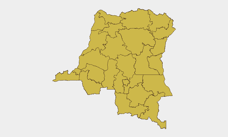
Twelve provinces share equivalent composite risk scores (66.5), with Maniema, Sud-Ubangi, Équateur, Nord-Ubangi, and Mongala heading the list. The eastern tier—Ituri, North Kivu, South Kivu, Tshopo, and Upper Uele—anchors risk due to persistent M23, ADF, and other armed group presence, displacement populations, and limited state capacity. Western and central provinces (Équateur, Sud-Ubangi, Tshuapa) face elevated risk from ADF splinters and intercommunal violence. Risk is distributed rather than concentrated, meaning security teams must assume baseline threat across most of the country outside Kinshasa and Kasai.
How GeoBit Would Assist
Teams with personnel or assets in DR Congo should deploy AOI Monitoring & Early Warning with persistent alerting on Ituri, North Kivu, and South Kivu to detect clashes and mass movement before media confirmation. Intel Sweep (X/Twitter OSINT, Telegram monitoring, radio SIGINT) and OSINT fusion & corroboration will close reporting gaps and surface actor movements 12–48 hours ahead of public sources. Routing & Network Analysis enables real-time alternative journey planning for staff transits around active clashes; GIS & Spatial Analysis with satellite imagery supports asset location risk assessment and displacement tracking.
7-Day Outlook
No imminent, specific escalation is indicated by current open-source signals. However, the persistent absence of incident reporting in the last 48 hours should not be mistaken for stability; eastern armed groups remain operationally active, and seasonal rainfall patterns in August typically correlate with increased movement. Organizations should maintain elevated posture and daily monitoring through 2026-08-09.
Highest-Risk Areas — Ranked
| # | State / Region | Risk |
|---|---|---|
| 1 | Maniema | 66.5 |
| 2 | Sud-Ubangi | 66.5 |
| 3 | Équateur | 66.5 |
| 4 | Nord-Ubangi | 66.5 |
| 5 | Mongala | 66.5 |
| 6 | Lower Uele | 66.5 |
| 7 | Tshopo | 66.5 |
| 8 | Tshuapa | 66.5 |
| 9 | Upper Uele | 66.5 |
| 10 | Ituri | 66.5 |
| 11 | North Kivu | 66.5 |
| 12 | Lualaba | 66.5 |
Sources
Previous Daily Briefs
A new DR Congo brief is written every day — each with its own risk map and downloadable CSV. Here's the last week; use the calendar to go further back.
📅 Browse every day by calendar →
Highlighted days have a brief. Tap a day for that day's map & analysis, or “csv” for that day's dataset ($5).
Atlas — our AI intelligence desk — emails them this snapshot personally. Nothing else, no list.